Osceola in Clarke County, Iowa — The American Midwest (Upper Plains)
Osceola Tourist Camp
Jefferson Highway Historic Site
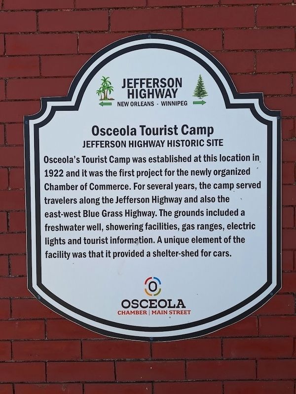
Photographed by Jason Voigt, October 19, 2026
1. Osceola Tourist Camp Marker
Osceola's Tourist Camp was established at this location in 1922 and it was the first project for the newly organized Chamber of Commerce. For several years, the camp served travelers along the Jefferson Highway and also the east-west Blue Grass Highway. The grounds included a freshwater well, showering facilities, gas ranges, electric lights and tourist information. A unique element of the facility was that it provided a shelter-shed for cars.
Erected by Jefferson Highway Association and Osceola Chamber Main Street.
Topics and series. This historical marker is listed in these topic lists: Industry & Commerce • Roads & Vehicles. In addition, it is included in the Jefferson Highway series list. A significant historical year for this entry is 1922.
Location. 41° 2.087′ N, 93° 46.062′ W. Marker is in Osceola, Iowa, in Clarke County. It is at the intersection of South Fillmore Street and West Washington Street, on the right when traveling south on South Fillmore Street. Touch for map. Marker is at or near this postal address: 100 S Fillmore St, Osceola IA 50213, United States of America. Touch for directions.

Regionally,
this page online
Other nearby markers. At least 3 other markers are within 3 miles of this marker, measured as the crow flies: Clarke County Veterans Memorial (about 500 feet away, measured in a direct line); The Road to Zion (approx. 2 miles away); The Mormon Trail / Utopian Experiments in Southern Iowa (approx. 2.1 miles away).
Also see . . . Osceola Chamber Main Street. (Submitted on November 13, 2026, by Jason Voigt of Glen Carbon, Illinois.)
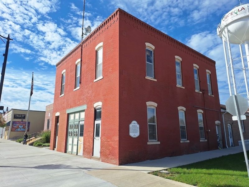
Photographed by Jason Voigt, October 19, 2026
2. Osceola Tourist Camp Marker
Credits. This page was last revised on November 13, 2026. It was originally submitted on November 13, 2026, by Jason Voigt of Glen Carbon, Illinois. This page has been viewed 7 times since then. Photos: 1, 2. submitted on November 13, 2026, by Jason Voigt of Glen Carbon, Illinois.
