
Near Estill in Hampton County, South Carolina — The American South (South Atlantic)
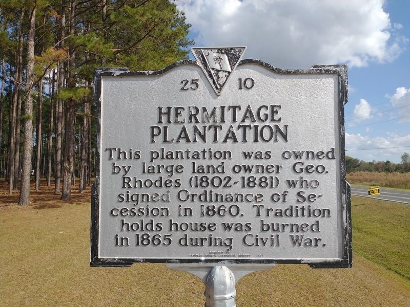
Hermitage Plantation
Photographed by Tom Bosse, October 28, 2026
1. Hermitage Plantation Marker
Erected 1997 by Hampton County Historical Society. (Marker Number 25 10.)
Topics. This historical marker is listed in this topic list: War, US Civil. A significant historical year for this entry is 1860.
Location. 32° 42.73′ N, 81° 15.02′ W. Marker is near Estill, South Carolina, in Hampton County. It is at the intersection of State Road S25-531 and Atkins Road, on the right when traveling west on State Road S25-531. Touch for map. Marker is in this post office area: Estill SC 29918, United States of America. Touch for directions.

Regionally, this marker is in the Lowcountry, in the Ashepoo and Combahee and Edisto Basin. It is also in the American South, specifically in the Deep South, and on the Eastern Seaboard. Globally, it is in the North Atlantic Region, North America, the Western Hemisphere, the Western World, and the Anglosphere. Historically, it finds itself in what was once New Spain, the territory of the Mississippian Culture,
this page online
Other nearby markers. At least 8 other markers are within 5 miles of this marker, measured as the crow flies: Steep Bottom Baptist Church (approx. 2.2 miles away); Estill Rosenwald School / Estill Training School (approx. 2.9 miles away); Morrison Academy (approx. 3 miles away); Lawtonville Church (approx. 3 miles away); Lucile Ellerbe Godbold (approx. 3.1 miles away); Estill Presbyterian Church (approx. 3.1 miles away); Estill Methodist Church (approx. 3.2 miles away); Davis Swimming Pool and Airstrip (approx. 4.6 miles away). Touch for a list and map of all markers in Estill.
Photographed by Tom Bosse, October 28, 2026
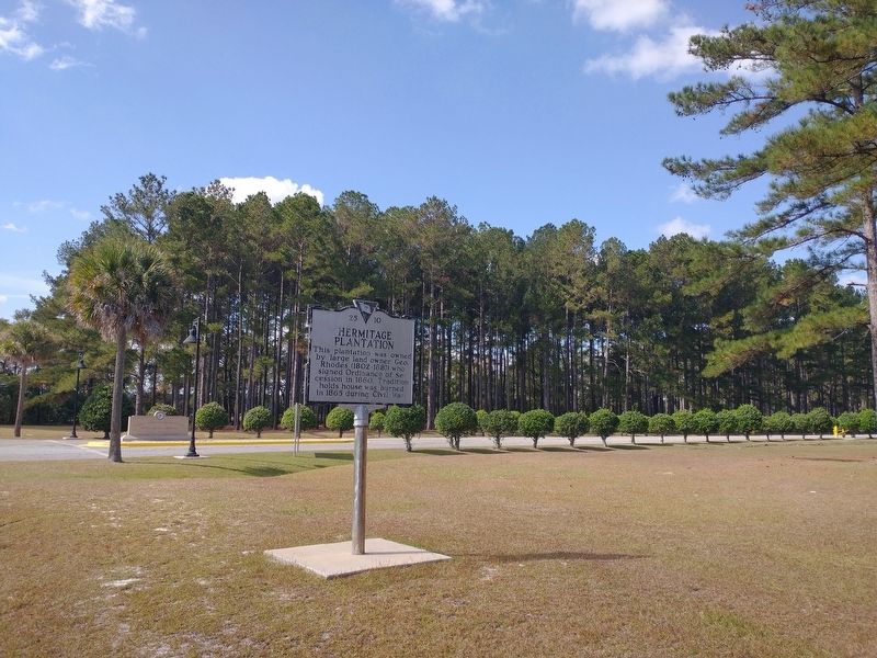
2. Hermitage Plantation Marker
Photographed by Tom Bosse, October 28, 2026
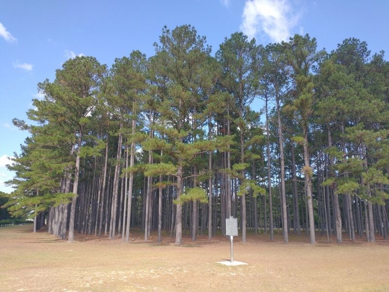
3. Hermitage Plantation Marker
Credits. This page was last revised on November 19, 2026. It was originally submitted on November 15, 2026, by Tom Bosse of Jefferson City, Tennessee. This page has been viewed 8 times since then. Photos: 1, 2, 3. submitted on November 15, 2026, by Tom Bosse of Jefferson City, Tennessee. • Bernard Fisher was the editor who published this page.
