
Seward in Kenai Peninsula Borough, Alaska — Northwest (North America)
Fourth Avenue Wharf - A Bustling Terminal
Photographed by Leslie Eudy, July 23, 2026
1. Fourth Avenue Wharf - A Bustling Terminal Marker
Fourth Avenue Wharf – A Bustling Terminal
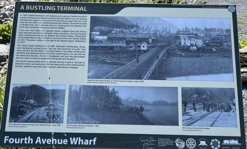
In 1903, Seattle developer John Ballaine and a group of settlers landed in (what would become) Seward to build a railroad. Before long, the Seward townsite was neatly laid out and the Fourth Avenue wharf that you could once see from here was built and buzzing with activity. The wharf included a railroad dock, which allowed ships to unload goods immediately onto trains that served Anchorage and Interior Alaska.
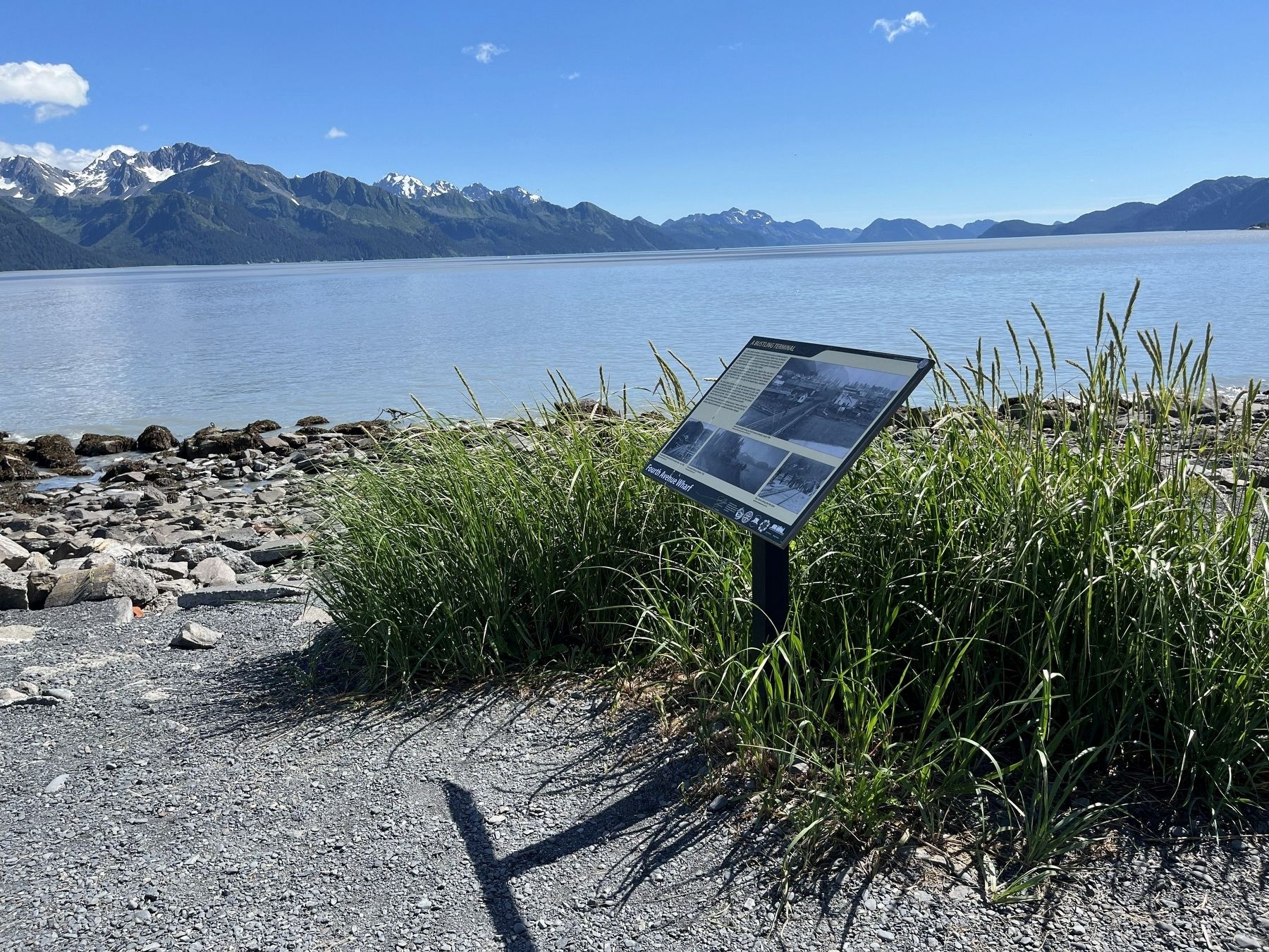
If you look west toward the SeaLife Center, imagine there was once a busy dock serving commercial boats, ships, and trains. All kinds of goods were unloaded and loaded for Seward and Interior Alaska. Passengers would disembark to stay in Seward or continue further into Interior Alaska by train. The green building to the right is the Seward Depot, established in 1917.
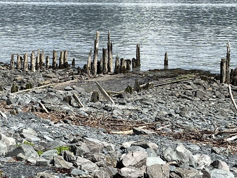
The Great Alaska Earthquake of 1964 destroyed warehouses, docks, and intersecting railroad tracks. You can see remnants of a pier, boat ramp, and the old rail tracks if you look closely in the water. All along the shoreline that stretches from here to the current harbor, you can see the rail tracks and old
this page online
The Fourth Avenue wharf and the railroad serving it were a vital part of Seward’s history and economy. With the destruction of the wharf and the railroad, Seward’s economy and character were forever changed.
Topics. This historical marker is listed in these topic lists: Industry & Commerce • Settlements & Settlers • Waterways & Vessels.
Location. 60° 6.072′ N, 149° 26.144′ W. Marker is in Seward, Alaska, in Kenai Peninsula Borough. It is on Sea Otter Trail, on the right when traveling north. On Sea Otter Trail South of Branson Pavilion. Touch for map. Marker is in this post office area: Seward AK 99664, United States of America. Touch for directions.

Regionally, this marker is in the Alaska Railroad Corridor, in the Alutiiq (Sugpiaq) Region, in the Athabascan Region, in the Prince William Sound, and in Southcentral Alaska. It is also on the American Pacific Coast. Globally, it is in North America, on the Ring of Fire, on the Pacific Rim, in
Photographed by Leslie Eudy, July 23, 2026
2. Fourth Avenue Wharf - A Bustling Terminal Marker Wide View
Other nearby markers. At least 8 other markers are within walking distance of this marker: Founders Monument (a few steps from this marker); The Phoenix / The Iditarod Trail (within shouting distance of this marker); Seward, Gateway to the Iditarod (within shouting distance of this marker); Alaska’s Gold Rush Era (within shouting distance of this marker); Lee Poleske (about 400 feet away, measured in a direct line); Old Order to New Territory (approx. ¼ mile away); On the Edge of the Frontier (approx. ¼ mile away); Resurrection Bay - 1964 Earthquake (approx. 0.6 miles away). Touch for a list and map of all markers in Seward.
Photographed by Leslie Eudy, July 23, 2026
3. Remnant of an old pier along the shore
Credits. This page was last revised on November 18, 2026. It was originally submitted on November 15, 2026, by Leslie Eudy of Golden, Colorado. This page has been viewed 3 times since then. Photos: 1, 2, 3. submitted on November 15, 2026, by Leslie Eudy of Golden, Colorado. • Andrew Ruppenstein was the editor who published this page.
