
Seward in Kenai Peninsula Borough, Alaska — Northwest (North America)
Resurrection Bay - 1964 Earthquake
Photographed by Leslie Eudy, July 23, 2026
1. Resurrection Bay - 1964 Earthquake Marker
Resurrection Bay - 1964 Earthquake
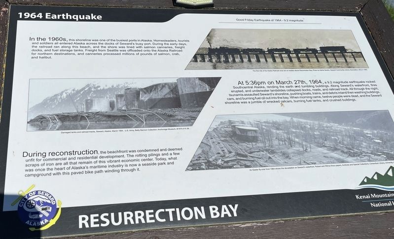
Good Friday Earthquake of 1964 – 9.2 Magnitude
In the 1960s, this shoreline was one of the busiest ports in Alaska. Homesteaders, tourists, and soldiers all entered Alaska across the docks of Seward’s busy port. During the early days, the railroad ran along this beach, and the shore was lined with salmon canneries, freight docks, and fuel storage tanks. Freight from Seattle was offloaded onto the Alaska Railroad for northern destinations, and canneries processed millions of pounds of salmon, crab, and halibut.
At 5:36pm on March 27th, 1964, a 9.2 magnitude earthquake rocked Southcentral Alaska, rending the earth and tumbling buildings. Along Seward’s waterfront, fires erupted, and underwater landslides collapsed docks, roads, and railroad track. All through the night, tsunamis assaulted Seward’s shoreline, pushing boats, trains, and debris inland then washing buildings, cars, and burning fuel oil out into the bay. When morning came, twelve people were dead, and the Seward shoreline was a jumble of wrecked railcars, burning fuel tanks, and crushed buildings.
During reconstruction,
this page online
Topics. This historical marker is listed in these topic lists: Disasters • Industry & Commerce • Waterways & Vessels. A significant historical date for this entry is March 27, 1964.
Location. 60° 6.554′ N, 149° 26.106′ W. Marker is in Seward, Alaska, in Kenai Peninsula Borough. It is on Sea Otter Trail, on the left when traveling north. On Sea Otter Trail near the Obihiro Picnic Area. Touch for map. Marker is in this post office area: Seward AK 99664, United States of America. Touch for directions.

Regionally, this marker is in the Alaska Railroad Corridor, in the Alutiiq (Sugpiaq) Region, in the Athabascan Region, in the Prince William Sound, and in Southcentral Alaska. It is also on the American Pacific Coast. Globally, it is in North America, on the Ring of Fire, on the Pacific Rim, in the Western
Photographed by Leslie Eudy, July 23, 2026
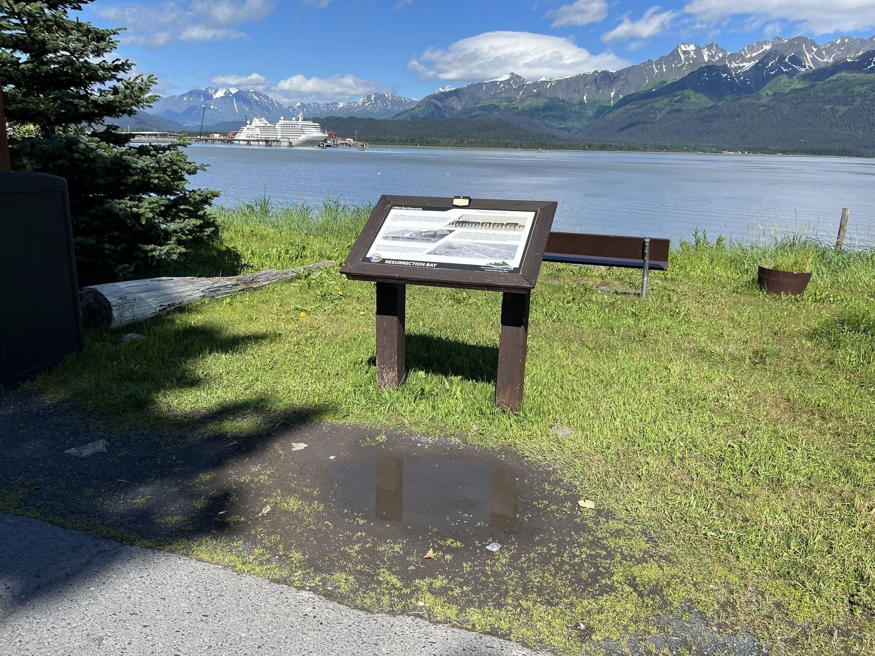
2. Resurrection Bay - 1964 Earthquake Marker Wide View
Other nearby markers. At least 8 other markers are within walking distance of this marker: Old Order to New Territory (approx. 0.3 miles away); On the Edge of the Frontier (approx. 0.3 miles away); Lee Poleske (approx. half a mile away); Seward, Gateway to the Iditarod (approx. half a mile away); Alaska’s Gold Rush Era (approx. half a mile away); The Phoenix / The Iditarod Trail (approx. half a mile away); Founders Monument (approx. half a mile away); Fourth Avenue Wharf - A Bustling Terminal (approx. 0.6 miles away). Touch for a list and map of all markers in Seward.
Credits. This page was last revised on November 18, 2026. It was originally submitted on November 15, 2026, by Leslie Eudy of Golden, Colorado. This page has been viewed 4 times since then. Photos: 1, 2. submitted on November 15, 2026, by Leslie Eudy of Golden, Colorado. • Andrew Ruppenstein was the editor who published this page.
