
Near Martin in Allendale County, South Carolina — The American South (South Atlantic)
Gilette Methodist Church
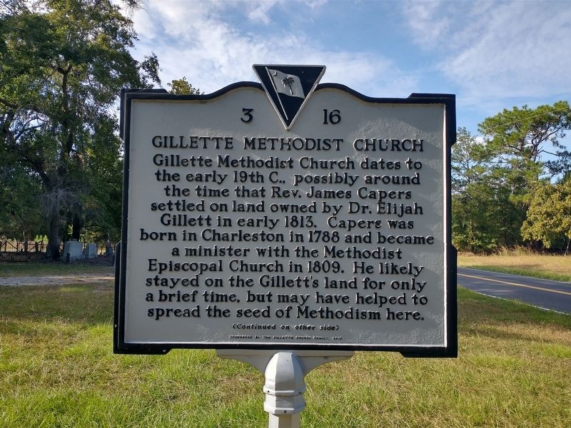
Photographed by Tom Bosse, October 28, 2026
1. Gilette Methodist Church Marker
Gillette Methodist Church dates to the early 19th C., possibly around the time that Rev. James Capers settled on land owned by Dr. Elijah Gillett in early 1813. Capers was born in Charleston in 1788 and became a minister with the Methodist Episcopal Church in 1809. He likely stayed on the Gillett’s land for only a brief time, but may have helped to spread the seed of Methodism here.
Erected 2018 by Gillette Church Family. (Marker Number 3 16.)
Topics. This historical marker is listed in these topic lists: Cemeteries & Burial Sites • Religion & Religious Structures • Settlements & Settlers. A significant historical year for this entry is 1813.
Location. 33° 1.715′ N, 81° 25.448′ W.
this page online

Regionally, this marker is in the Lowcountry. It is also in the American South and specifically in the Deep South. Globally, it is in North America, the Western Hemisphere, the Western World, and the Anglosphere. Historically, it finds itself in what was once the territory of the Mississippian Culture, one of the original Thirteen Colonies, one of the Confederate States of America, and the Antebellum South.
Other nearby markers. At least 8 other markers are within 7 miles of this marker, measured as the crow flies: Concord Baptist Church (approx. 2½ miles away); Old Allendale (approx. 5.4 miles away); Antioch Christian Church (approx. 5.6 miles away); Swallow Savannah Cemetery (approx. 6.3 miles away); Town of Allendale (approx. 6½ miles away); Swallow Savannah Methodist Church (approx. 6.7 miles
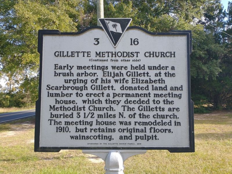
Photographed by Tom Bosse, October 28, 2026
2. Gilette Methodist Church Marker
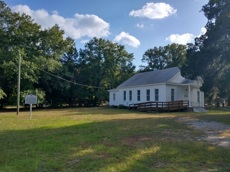
Photographed by Tom Bosse, October 28, 2026
3. Gilette Methodist Church Marker
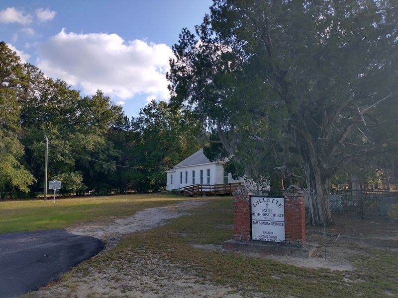
Photographed by Tom Bosse, October 28, 2026
4. Gilette Methodist Church Marker
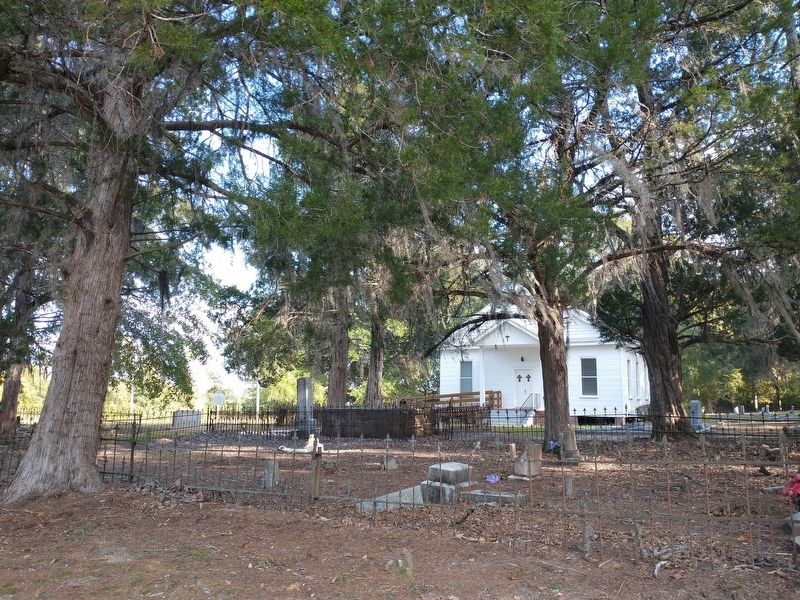
Photographed by Tom Bosse, October 28, 2026
5. Gilette Methodist Church Marker
Credits. This page was last revised on November 17, 2026. It was originally submitted on November 15, 2026, by Tom Bosse of Jefferson City, Tennessee. This page has been viewed 5 times since then. Photos: 1, 2, 3, 4, 5. submitted on November 15, 2026, by Tom Bosse of Jefferson City, Tennessee. • Bernard Fisher was the editor who published this page.
