
Southwark in Greater London, England, United Kingdom — Northwestern Europe (the British Isles)
St George's Fields
Photographed by Ray Gurganus, April 8, 2026
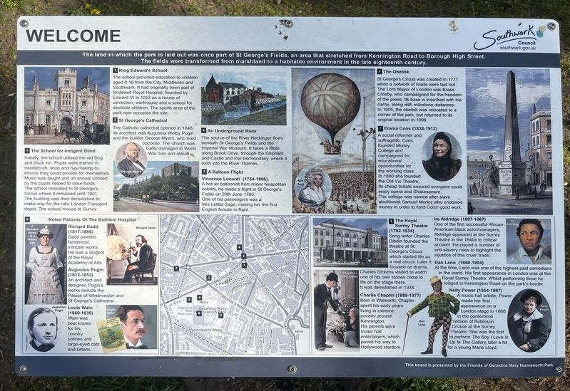
1. St George's Fields Marker
1 The School for Indigent Blind
Initially, the school utilised the old Dog and Duck inn. Pupils were trained in needlecraft, shoe and rug-making to ensure they could provide for themselves. Music was taught and an annual concert by the pupils helped to raise funds. The school relocated to St George's Circus where it remained until 1901. The building was then demolished to make way for the new London Transport depot. The school moved to Surrey.
2 King Edward's School
The school provided education to children aged 8-18 from the City, Middlesex and Southwark. It had originally been part of Bridewell Royal Hospital, founded by Edward VI in 1553 as a house of correction, workhouse and a school for destitute children. The sports area of the park now occupies the site.
3 St George's Cathedral
The Catholic cathedral opened in 1848. Its architect was Augustus Welby Pugin and
this page online
4 An Underground River
The source of the River Neckinger flows beneath St George's Fields and the Imperial War Museum. It takes a route along Brook Drive, through the Elephant and Castle and into Bermondsey, where it exits into the River Thames.
5 A Balloon Flight
Vincenzo Lunardi (1754-1806).
A hot air balloonist from minor Neapolitan nobility, he made a flight in St George's Fields on 29th June 1785. One of his passengers was a Mrs Letitia Sage, making her the first English female in flight.
6 The Obelisk
St George's Circus was created in 1771 when a network of roads were laid out. The Lord Mayor of London was Brass Crosby, who campaigned for the freedom of the press. Its base is inscribed with his name, along with milestone distances. In 1905, the obelisk was relocated to a corner of the park, but returned to its original location in 1998.
7 Emma Cons (1838-1912)
A social reformer and suffragette, Cons founded Morley College and campaigned for educational opportunities for the working class. In 1880 she founded
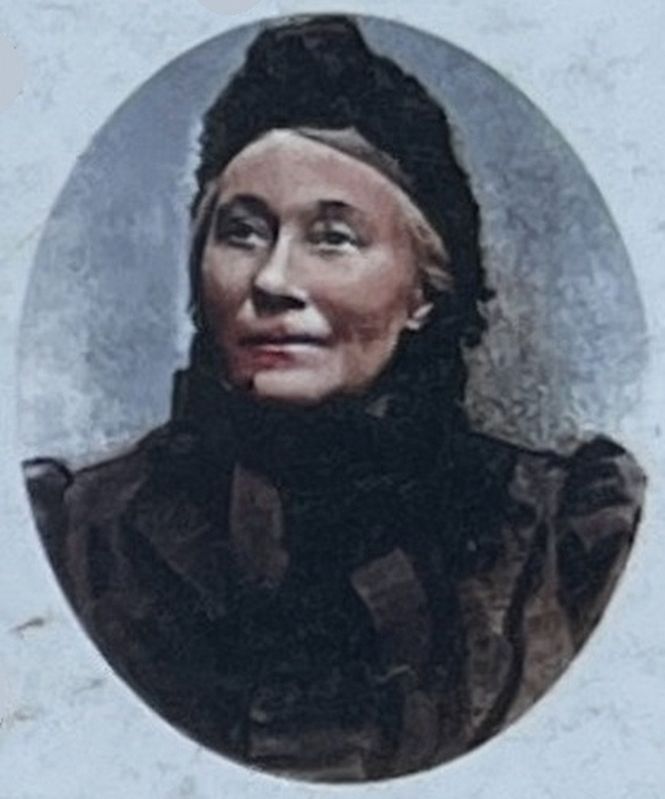
Illustration from the marker
2. Emma Cons
8. Noted Patients Of The Bethlem Hospital
Richard Dadd (1817-1886)
Dadd painted fantastical, intricate works. He was a student of the Royal Academy of Arts.
Augustus Pugin (1812-1852)
An architect and designer, Pugin's works include the Palace of Westminster and St George's Cathedral.
Louis Wain (1860-1939)
Wain was best known for his country scenes and large-eyed cats and kittens.
9 The Royal Surrey Theatre (1782-1934)
Song writer Charles Dibdin founded the theatre at St George's Circus which started life as a real circus. Later it focused on drama. Charles Dickens visited to watch City Lights one of his own stories come to life on the stage there. It was demolished in 1934.
Charlie Chaplin (1889-1977)
Born in Walworth, Chaplin spent his early years living in extreme poverty around Kennington. His parents were music hall entertainers, which paved his way to Hollywood stardom.
Ira Aldridge (1807-1867)
One of
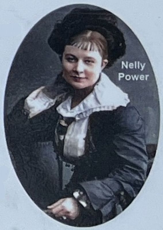
Illustration from the marker
3. Nellie Power
Dan Leno (1860-1904)
At the time, Leno was one of the highest-paid comedians in the world. His first appearance in London was at the Royal Surrey Theatre. Whilst performing there he lodged in Kennington Road on the park's border.
Nelly Power (1854-1887)
A music hall artiste, Power made her first appearance on a London stage in 1868 in the pantomime version of Robinson Crusoe at the Surrey Theatre. She was the first to perform The Boy I Love Is Up In The Gallery, later a hit for a young Marie Lloyd.
Erected by Southwark Council.
Topics. This historical marker is listed in these topic lists: Charity & Public Work • Education • Entertainment • Women. A significant historical date for this entry is June 29, 1785.
Location. 51° 29.797′ N, 0° 6.541′ W. Marker is in Southwark, England, in Greater London. It can be reached from Lambeth Road, on the right when traveling east. Touch for map. Marker is at or near this postal address: 20 Lambeth Road, Southwark, England SE1 6HZ, United Kingdom. Touch for directions.

Regionally, this marker is in London and in the Greater South East. Globally, it is on the Atlantic Ocean, in the North Atlantic Region, in Europe, in Atlantic Europe, on one of the British Isles, in the Western World, and in the Anglosphere. Historically, it finds itself in what was once the Roman Empire.
Other nearby markers. At least 8 other markers are within walking distance of this marker: British 15-inch naval guns (within shouting distance of this marker); Section of the Berlin Wall (within shouting distance of this marker); Soviet World War II Memorial (within shouting distance of this marker); The Ice Age Tree Trail (about 150 meters away, measured in a direct line); One Mile from London Bridge (approx. 0.4 kilometers away); Craigie Aitchison (approx. 0.4 kilometers away); The Faraday Memorial (approx. 0.6 kilometers away); Welcome to St Mary's Churchyard (approx. 0.6 kilometers away). Touch for a list and map of all markers in Southwark.
Credits. This page was last revised on November 18, 2026. It was originally submitted on November 16, 2026, by Ray Gurganus of Washington, District of Columbia. This page has been viewed 5 times since then. Photos: 1, 2, 3. submitted on November 16, 2026, by Ray Gurganus of Washington, District of Columbia. • Andrew Ruppenstein was the editor who published this page.
Editor’s want-list for this marker. photo of the marker within its surroundings • Can you help?
