
Radium Springs in Doña Ana County, New Mexico — The American Mountains (Southwest)
Fort Selden Cemetery
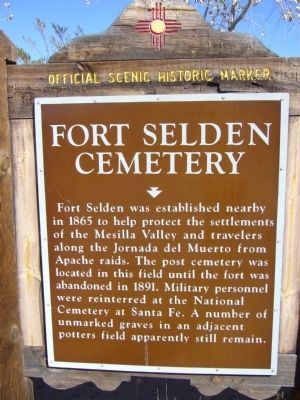
Photographed by Bill Kirchner, November 5, 2010
1. Fort Selden Cemetery Marker
Erected by New Mexico Historic Preservation Division.
Topics. This historical marker is listed in these topic lists: Cemeteries & Burial Sites • Forts and Castles. A significant historical year for this entry is 1865.
Location. 32° 29.389′ N, 106° 55.089′ W. Marker is in Radium Springs, New Mexico, in Doña Ana County. It is on Leasburg State Park Road 0.3 miles north of State Road 157, on the right when traveling north. Touch for map. Marker is at or near this postal address: 12695 Leasburg State Park Rd, Las Cruces NM 88007, United States of America. Touch for directions.

Regionally, this marker is in the New Mexico’s Rio Grande Valley. It is also in the American Borderlands and in the Southwest. Globally, it is in
this page online
Other nearby markers. At least 8 other markers are within 5 miles of this marker, measured as the crow flies: History in Your Imagination (approx. ¼ mile away); Rio Grande Means Life (approx. ¼ mile away); Rio Grande Bosque (approx. 0.4 miles away); A Diversion Dam for the Valley (approx. 0.4 miles away); Changing Upland Plants (approx. 0.4 miles away); Paraje de Robledo (approx. 0.4 miles away); Rio Grandé Bridge at Radium Springs (approx. half a mile away); Paraje San Diego (approx. 4.2 miles away). Touch for a list and map of all markers in Radium Springs.

Photographed by Bill Kirchner, November 5, 2010
2. Rear of Fort Selden Cemetery Marker
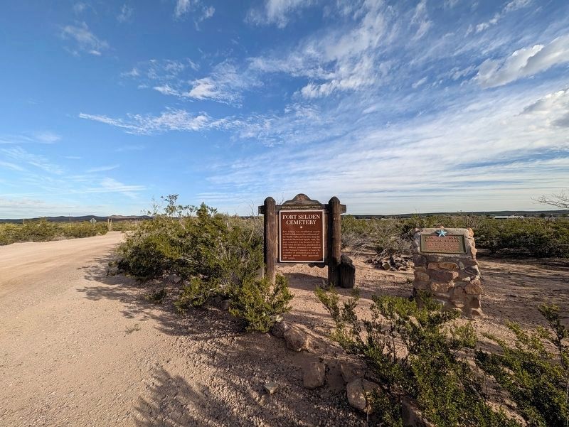
Photographed by Jimmy Emerson, November 13, 2026
3. Fort Selden Cemetery Marker
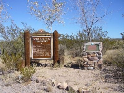
Photographed by Bill Kirchner, November 5, 2010
4. Fort Selden Cemetery Marker

Photographed by Bill Kirchner, November 5, 2010
5. Blue Star Memorial By-Way plaque
Credits. This page was last revised on November 16, 2026. It was originally submitted on November 19, 2010, by Bill Kirchner of Tucson, Arizona. This page has been viewed 1,288 times since then and 51 times this year. Last updated on November 16, 2026, by Jimmy Emerson of Dalton, Georgia. Photos: 1, 2. submitted on November 19, 2010, by Bill Kirchner of Tucson, Arizona. 3. submitted on November 16, 2026, by Jimmy Emerson of Dalton, Georgia. 4, 5. submitted on November 19, 2010, by Bill Kirchner of Tucson, Arizona. • Devry Becker Jones was the editor who published this page.
