
Parkston in Hutchinson County, South Dakota — The American Midwest (Upper Plains)
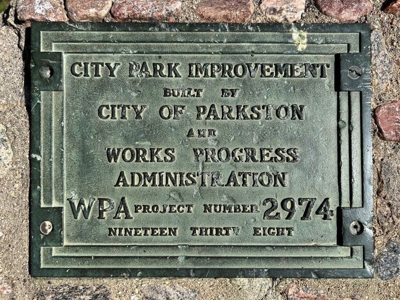
City Park Improvement
October 4, 2026
1. City Park Improvement Marker
Built by City of Parkston and Works Progress Administration
WPA Project Number 2974
Nineteen Thirty Eight
Topics. This historical marker is listed in these topic lists: Charity & Public Work • Parks & Recreational Areas. A significant historical year for this entry is 1938.
Location. 43° 23.774′ N, 97° 59.475′ W. Marker is in Parkston, South Dakota, in Hutchinson County. It can be reached from North Park Street north of West Ash Street, on the right when traveling north. Located in Rose E. Bormann Memorial Park. Touch for map. Marker is at or near this postal address: 504 W Maple St, Parkston SD 57366, United States of America. Touch for directions.

Regionally, this marker is in the Yankton Sioux Tribe, in East River, and specifically in the James River Valley. It is also in the American Lewis & Clark Corridor, on the prairies, and on the Northern Plains. Globally, it is in North America, the Western Hemisphere, the Western World, and the Anglosphere. Historically, it finds itself in what was once Rupert’s Land and also the Louisiana Purchase.
Other nearby markers. At least 8 other markers are within
this page online
October 4, 2026
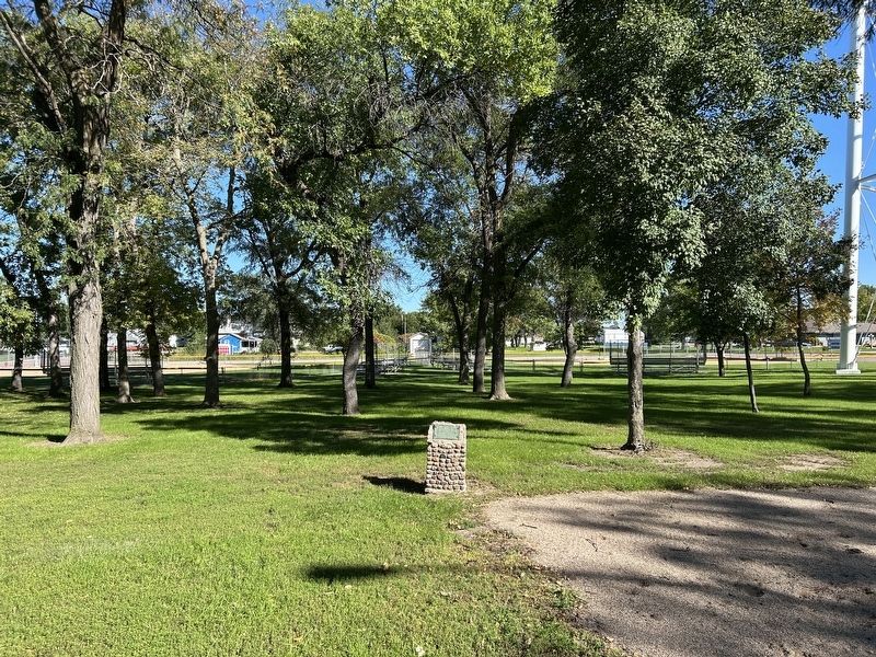
2. City Park Improvement Marker, from the west
October 4, 2026
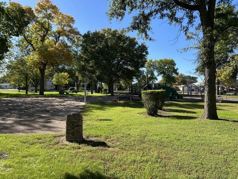
3. City Park Improvement Marker
Credits. This page was last revised on November 17, 2026. It was originally submitted on November 17, 2026. This page has been viewed 9 times since then. Photos: 1, 2, 3. submitted on November 17, 2026.
