
Plattsburg in Clinton County, Missouri — The American Midwest (Upper Plains)
Plattsburg, Missouri
Jefferson Highway Historic Site
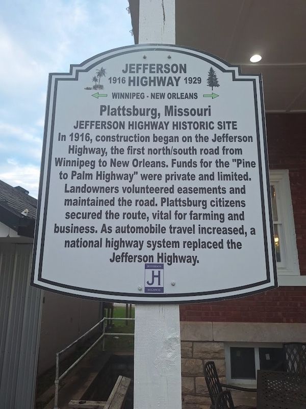
Photographed by Jason Voigt, October 19, 2026
1. Plattsburg, Missouri Marker
In 1916, construction began on the Jefferson Highway, the first north/south road from Winnipeg to New Orleans. Funds for the "Pine to Palm Highway" were private and limited. Landowners volunteered easements and maintained the road. Plattsburg citizens secured the route, vital for farming and business. As automobile travel increased, a national highway system replaced the Jefferson Highway.
Erected 2022 by Jefferson Highway Association.
Topics and series. This historical marker is listed in this topic list: Roads & Vehicles. In addition, it is included in the Jefferson Highway series list. A significant historical year for this entry is 1916.
Location. 39° 33.891′ N, 94° 26.825′ W. Marker is in Plattsburg, Missouri, in Clinton County. It is on South Main Street near Broadway Street, on the right when traveling north. Touch for map. Marker is at or near this postal address: 101 S Main St, Plattsburg MO 64477, United States of America. Touch for directions.

Regionally, this marker is in North Missouri and in Greater Kansas City. It is also in the American Midwest, in the Lewis & Clark Corridor, and in the Corn
this page online
Other nearby markers. At least 8 other markers are within 14 miles of this marker, measured as the crow flies: War Memorial (about 400 feet away, measured in a direct line); David Rice Atchison (about 500 feet away); Clinton County (about 500 feet away); Jefferson Highway (approx. 1.1 miles away); Clinton County JL Halferty House (approx. 5½ miles away); Trimble, Missouri (approx. 9 miles away); James Farm (approx. 13.7 miles away); Howard Porter (approx. 14 miles away). Touch for a list and map of all markers in Plattsburg.
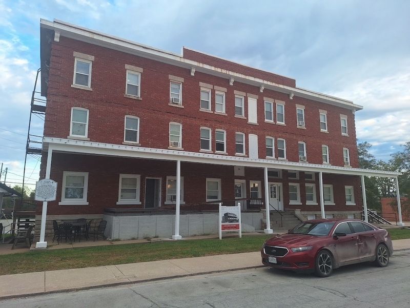
Photographed by Jason Voigt, October 19, 2026
2. Plattsburg, Missouri Marker
Credits. This page was last revised on November 18, 2026. It was originally submitted on November 18, 2026, by Jason Voigt of Glen Carbon, Illinois. This page has been viewed 5 times since then. Photos: 1, 2. submitted on November 18, 2026, by Jason Voigt of Glen Carbon, Illinois.
