
Trimble in Clinton County, Missouri — The American Midwest (Upper Plains)
Trimble, Missouri
Historic Community
Photographed by Jason Voigt, October 19, 2026
1. Trimble, Missouri Marker
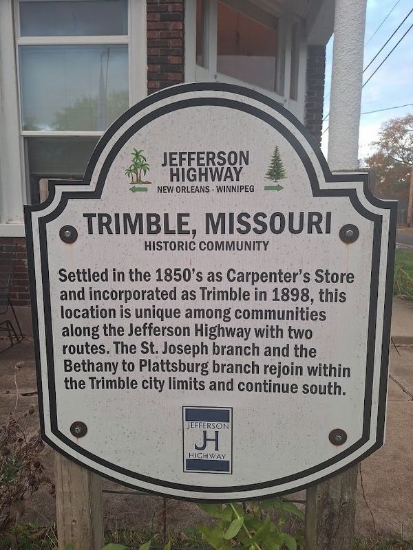
Settled in the 1850's as Carpenter's Store and incorporated as Trimble in 1898, this location is unique among communities along the Jefferson Highway with two routes. The St. Joseph branch and the Bethany to Plattsburg branch rejoin within the Trimble city limits and continue south.
Erected 2024 by Jefferson Highway Association.
Topics and series. This historical marker is listed in these topic lists: Roads & Vehicles • Settlements & Settlers. In addition, it is included in the Jefferson Highway series list. A significant historical year for this entry is 1898.
Location. 39° 28.362′ N, 94° 33.891′ W. Marker is in Trimble, Missouri, in Clinton County. It is at the intersection of Port Arthur Road (Missouri Route F) and Walnut Street, on the right when traveling south on Port Arthur Road. Touch for map. Marker is at or near this postal address: 214 Port Arthur Rd, Trimble MO 64492, United States of America. Touch for directions.

Regionally, this marker is in North Missouri and in Greater Kansas City. It is also in the American Midwest, in the Lewis & Clark Corridor, and in the Corn Belt. Globally, it is in
this page online
Other nearby markers. At least 8 other markers are within 6 miles of this marker, measured as the crow flies: Clinton County JL Halferty House (approx. 5½ miles away); World Wars Memorial (approx. 5.7 miles away); Quincy, Omaha & Kansas City Railroad Caboose #3 (approx. 5.9 miles away); 9/11 Remembrance Rail (approx. 6 miles away); Flood of 1965 High Water Mark (approx. 6 miles away); Smithville High School Flagpole (approx. 6 miles away); Purple Heart Memorial (approx. 6 miles away); Veterans Memorial (approx. 6 miles away).
Also see . . . City of Trimble, Missouri website. With a population of over 570 people (in 2026), this little community is located at the southwest corner of Clinton County, Missouri. It is known as "the city by the lake." (Submitted on November 18, 2026, by Jason Voigt of Glen Carbon, Illinois.)
Photographed by Jason Voigt, October 19, 2026
2. Trimble, Missouri Marker
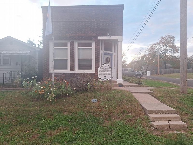
The building behind the marker was, at one time, a post office.
Credits. This page was last revised on November 18, 2026. It was originally submitted on November 18, 2026, by Jason Voigt of Glen Carbon, Illinois. This page has been viewed 4 times since then. Photos: 1, 2. submitted on November 18, 2026, by Jason Voigt of Glen Carbon, Illinois.
