
Smithville in Clay County, Missouri — The American Midwest (Upper Plains)
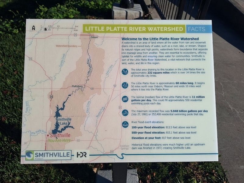
Little Platte River Watershed Facts
Photographed by Jason Voigt, October 20, 2026
1. Little Platte River Watershed Facts Marker
Welcome to the Little Platte River Watershed
A watershed is an area of land where all the water from rain and snowmelt drains into a shared body of water, such as a river, lake, or stream. Shaped by natural ridges and high points, watersheds form boundaries that separate one drainage area from another. They are essential to ecosystems, offering habitat for wildlife and ensuring clean water for communities. Smithville is part of the Little Platte River Watershed, a vital network that connects the land, water, and life in this region.
• The total area draining to this location in the Little Platte River is approximately 232 square miles which is over 14 times the size of Smithville city limits.
• The Little Platte River is approximately 60 miles long. It begins 50 miles north near Osborn, Missouri and ends 10 miles west where it ties into the Platte River.
• The normal (median) flow of the Little Platte River is 11 million gallons per day. This could fill approximately 550 residential swimming pools each day.
• The maximum recorded flow was 5.048 billion gallons per day (July 27, 1981) or 252,400 residential swimming
this page online
• River flood event elevations:
100-year flood elevation: 813.5 feet above sea level
500-year flood elevation: 815.1 feet above sea level
Elevation at your feet: 817 feet above sea level
Historical flood elevations were much higher until an upstream dam was finished in 1977, creating Smithville Lake.
Erected by City of Smithville, Missouri.
Topics. This historical marker is listed in this topic list: Waterways & Vessels. A significant historical year for this entry is 1977.
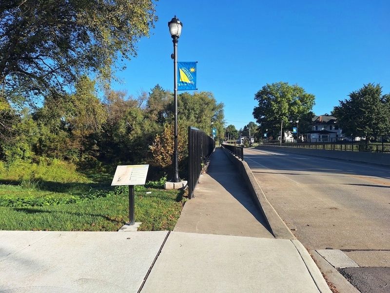
Location. 39° 23.33′ N, 94° 34.856′ W. Marker is in Smithville, Missouri, in Clay County. It is on North Bridge Street (U.S. 169 Spur) north of Church Street, on the left when traveling north. Touch for map. Marker is at or near this postal address: 204 N Bridge St, Smithville MO 64089, United States of America. Touch for directions.

Regionally, this marker is in the Missouri River Corridor and in Greater Kansas City. It is also in the American Midwest, in the Lewis & Clark Corridor, and in the Corn Belt. Globally, it is in North America, the Western Hemisphere, the Western World, and the Anglosphere. Historically, it finds
Photographed by Jason Voigt, October 20, 2026
2. Little Platte River Watershed Facts Marker
Other nearby markers. At least 8 other markers are within walking distance of this marker: Smithville, Missouri (about 300 feet away, measured in a direct line); Flood of 1965 High Water Mark (about 600 feet away); Purple Heart Memorial (about 600 feet away); Veterans Memorial (about 600 feet away); Smithville High School Flagpole (about 600 feet away); War Memorial (about 600 feet away); Sesquicentennial Celebration Time Capsule (about 600 feet away); 9/11 Remembrance Rail (about 600 feet away). Touch for a list and map of all markers in Smithville.
Credits. This page was last revised on November 19, 2026. It was originally submitted on November 19, 2026, by Jason Voigt of Glen Carbon, Illinois. This page has been viewed 5 times since then. Photos: 1, 2. submitted on November 19, 2026, by Jason Voigt of Glen Carbon, Illinois.
