
Smithville in Clay County, Missouri — The American Midwest (Upper Plains)
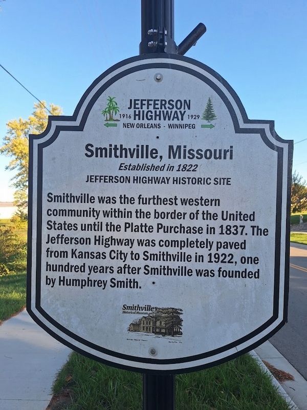
Smithville, Missouri
Established in 1822
| — | Jefferson Highway Historic Site | — |
Photographed by Jason Voigt, October 20, 2026
1. Smithville, Missouri Marker
Smithville was the furthest western community within the border of the United States until the Platte Purchase in 1837. The Jefferson Highway was completely paved from Kansas City to Smithville in 1922, one hundred years after Smithville was founded by Humphrey Smith.
Erected by Jefferson Highway Association and Smithville Historical Museum and Inn.
Topics and series. This historical marker is listed in these topic lists: Roads & Vehicles • Settlements & Settlers. In addition, it is included in the Jefferson Highway series list. A significant historical year for this entry is 1837.
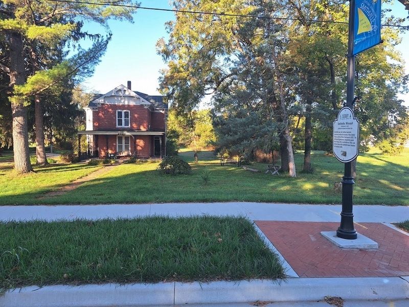
Location. 39° 23.384′ N, 94° 34.855′ W. Marker is in Smithville, Missouri, in Clay County. It is on North Bridge Street (U.S. 169 Spur) south of East 1st Street, on the right when traveling north. Marker is in front of Smithville Historical Museum and Inn. Touch for map. Marker is at or near this postal address: 210 N Bridge St, Smithville MO 64089, United States of America. Touch for directions.

Regionally, this marker is in the Missouri River Corridor and in Greater Kansas City. It is also in the American Midwest, in the Lewis
this page online
Other nearby markers. At least 8 other markers are within walking distance of this marker: Little Platte River Watershed Facts (about 300 feet away, measured in a direct line); Flood of 1965 High Water Mark (approx. 0.2 miles away); Purple Heart Memorial (approx. 0.2 miles away); Veterans Memorial (approx. 0.2 miles away); Smithville High School Flagpole (approx. 0.2 miles away); War Memorial (approx. 0.2 miles away); Sesquicentennial Celebration Time Capsule (approx. 0.2 miles away); 9/11 Remembrance Rail (approx. 0.2 miles away). Touch for a list and map of all markers in Smithville.
Photographed by Jason Voigt, October 20, 2026
2. Smithville, Missouri Marker
Credits. This page was last revised on November 19, 2026. It was originally submitted on November 19, 2026, by Jason Voigt of Glen Carbon, Illinois. This page has been viewed 5 times since then. Photos: 1, 2. submitted on November 19, 2026, by Jason Voigt of Glen Carbon, Illinois.
