
Bamberg, Bavaria, Germany — Central Europe
Rotenhan-Palais
Photographed by Andrew Ruppenstein, October 19, 2026
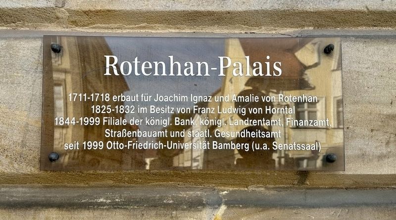
1. Rotenhan-Palais Marker

1825-1832 im Besitz von Franz Ludwig von Horntal
1844-1999 Filiale der königl. Bank königl. Landrentamt, Finanzamt, Straßenbauamt und staatl. Gesundheitsamt
seit 1999 Otto-Friedrich-Universität Bamberg (u.a. Senatssaal)
Built between 1711 and 1718 for Joachim Ignaz and Amalie von Rotenhan. Owned by Franz Ludwig von Horntal from 1825 to 1832. From 1844 to 1999, it housed a branch of the Royal Bank, the Royal Regional Revenue Office, the Tax Office, the Road Construction Office, and the State Health Department. Since 1999, it has been part of the University of Bamberg (Otto-Friedrich-Universität Bamberg) – including the Senate Hall.
Topics. This historical marker is listed in this topic list: Notable Buildings.
Location. 49° 53.654′ N, 10° 53.127′ E. Marker is in Bamberg, Bayern (Bavaria). It is at the intersection of Kapuzinerstraße and Stangstraße, on the left when traveling north on Kapuzinerstraße. Touch for map. Marker is at or near this postal address: Kapuzinerstraße
this page online

Regionally, this marker is in German Franconia. Globally, it is in Europe, the European Union, Atlantic Europe, Central Europe, the Schengen Area, Western Europe, and the Western World. Historically, it finds itself in what was once the Holy Roman Empire and also the former West Germany.
Other nearby markers. At least 8 other markers are within walking distance of this marker: Joseph Daniel Ohlmüller (about 90 meters away, measured in a direct line); Christoph Clavius (about 150 meters away); Am Kranen 12a (about 150 meters away); Haus St. Benedikt / St. Benedict House (about 180 meters away); Am Kranen / At the Cranes (about 210 meters away); Haus Mahr, 1. Palais Schrottenberg (about 210 meters away); Pfarrkirche St. Martin / Parish Church of St. Martin (about 240 meters away); Haus zum Wilden Mann (approx. 0.2 kilometers away). Touch for a list and map of all markers in Bamberg.
Photographed by Andrew Ruppenstein, October 19, 2026
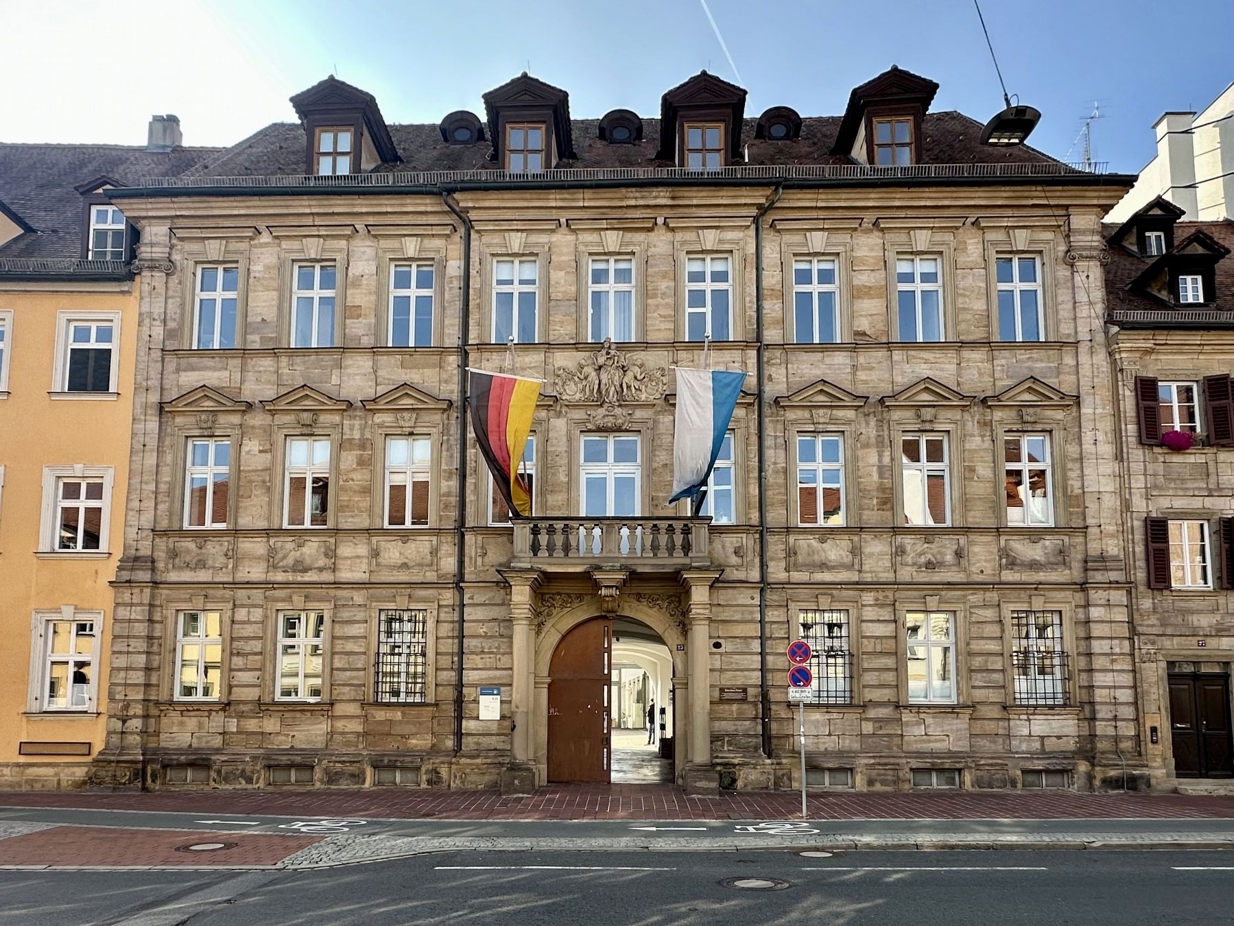
2. Rotenhan-Palais and marker
The marker is visible here just to the right of the entryway.
Credits. This page was last revised on November 20, 2026. It was originally submitted on November 20, 2026, by Andrew Ruppenstein of Lamorinda, California. This page has been viewed 4 times since then. Photos: 1, 2. submitted on November 20, 2026, by Andrew Ruppenstein of Lamorinda, California.
