
Aylesbury in Buckinghamshire, England, United Kingdom — Northwestern Europe (the British Isles)
Tring Road Cemetery
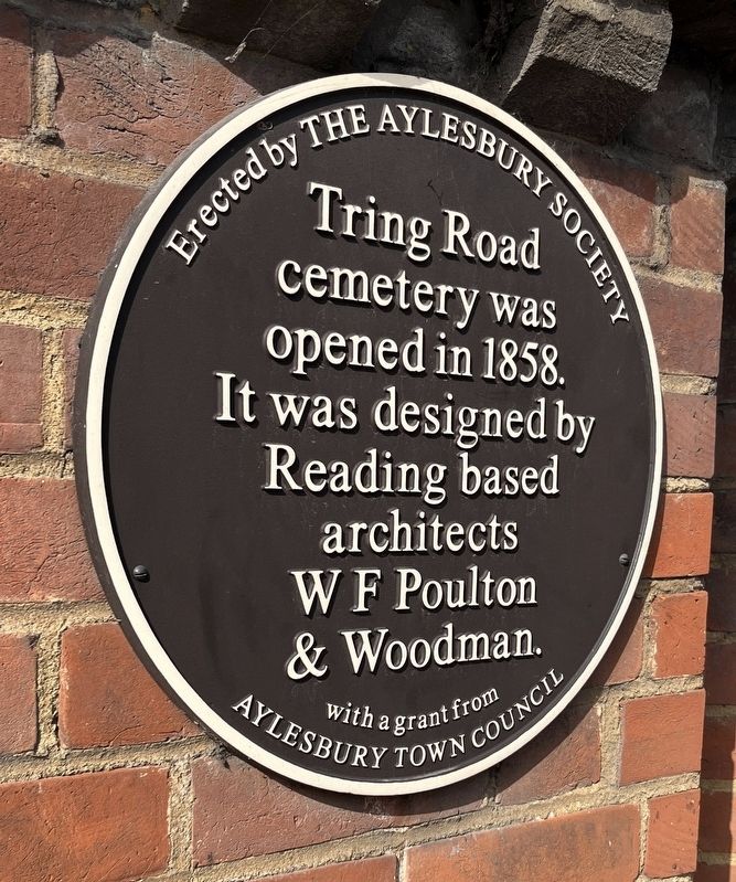
Photographed by Ray Gurganus, May 23, 2026
1. Tring Road Cemetery Marker
Tring Road cemetery was opened in 1858. It was designed by Reading based architects WF Poulton & Woodman.
Erected by The Aylesbury Society.
Topics. This historical marker is listed in this topic list: Cemeteries & Burial Sites. A significant historical year for this entry is 1858.
Location. 51° 48.899′ N, 0° 47.873′ W. Marker is in Aylesbury, England, in Buckinghamshire. It is on Tring Road, on the right when traveling east. The marker is on the brick wall to the right of the entrance gate. Touch for map. Marker is at or near this postal address: 53 Tring Road, Aylesbury, England HP20 1LD, United Kingdom. Touch for directions.

Regionally, this marker is in the Greater South East. Globally, it is on the Atlantic Ocean, in the North Atlantic Region, in Europe, in Atlantic Europe, on one of the British Isles, in the Western World, and in the Anglosphere. Historically, it finds itself in what was once the Roman Empire.
Other nearby markers. At least 8 other markers are within walking distance of this marker: Episcopal Chapel (a few steps from this marker); Dissenters' Chapel (within shouting distance of
this page online
Additional keywords. plaque
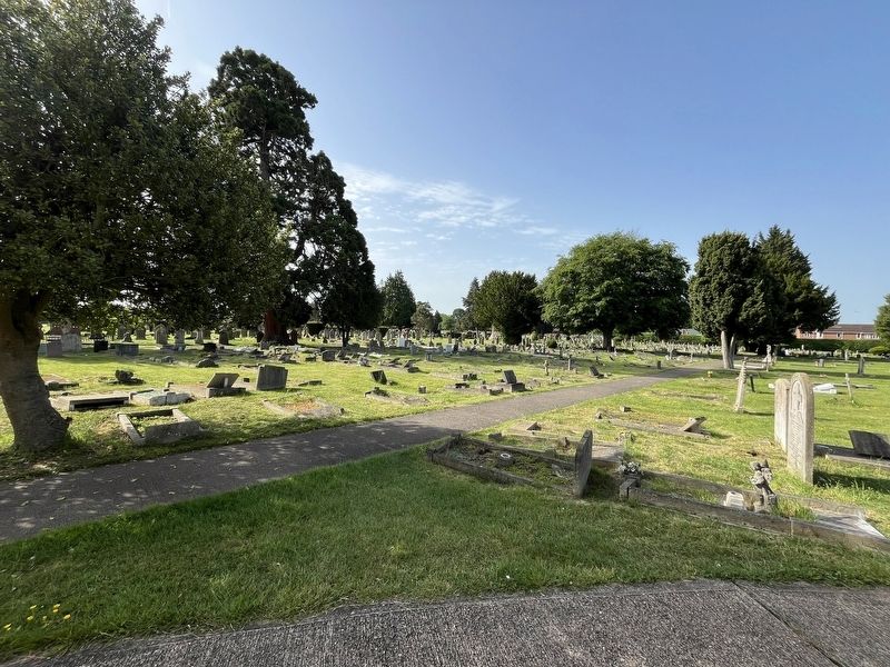
Photographed by Ray Gurganus, May 23, 2026
2. Tring Road Cemetery
Credits. This page was last revised on November 21, 2026. It was originally submitted on November 20, 2026, by Ray Gurganus of Washington, District of Columbia. This page has been viewed 5 times since then. Photos: 1, 2. submitted on November 20, 2026, by Ray Gurganus of Washington, District of Columbia. • Andrew Ruppenstein was the editor who published this page.
