Easton in Talbot County, Maryland — The American Northeast (Mid-Atlantic)
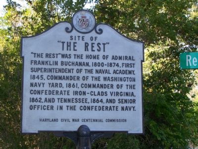
Site of “The Rest”
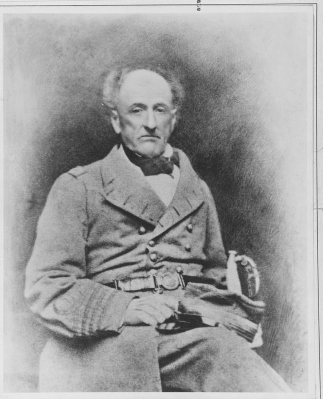
“The Rest” was the home of Admiral Franklin Buchanan, 1800–1874, first Superintendent of the Naval Academy, 1845, Commander of the Washington Navy Yard, 1861, Commander of the Confederate iron-clads Virginia, 1862, and Tennessee, 1864, and senior officer in the Confederate Navy.
Erected by Maryland Civil War Centennial Commission.
Topics. This historical marker is listed in these topic lists: Education • War, US Civil • Waterways & Vessels. A significant historical year for this entry is 1874.
Location. 38° 47.531′ N, 76° 7.415′ W. Marker is in Easton, Maryland, in Talbot County. Marker is at the intersection of Maryland Route 370 and Rest Road, on the left when traveling north on State Route 370. Touch for map. Marker is in this post office area: Easton MD 21601, United States of America. Touch for directions.
Other nearby markers. At least 8 other markers are within 3 miles of this marker, measured as the crow flies. Betty’s Cove Meetinghouse (approx. 0.7 miles away); Unionville (approx. 1.3 miles away); Union Soldiers (approx. 1½ miles away); a different marker also named Unionville (approx. 1½ miles away); The “Mannour of Ratcliffe” (approx. 1.8 miles away); Fausley (approx. 2.1 miles away); William Penn (approx. 2.3 miles away); Bracing for an Attack (approx. 2.3 miles away). Touch for a list and map of all markers in Easton.
Regarding Site of “The Rest”. According to the Maryland Historical Trust Historicd Sites Survey, "It is said that prior to a fire in 1868, a bric house was situated at The Rest. Between 1863 and 1866 he built a three story frame dwelling on the same site which resembles Doncaster still standing a short distance to the west. In recent years, The Rest was demolished and is now a sub-division."
Also see . . . Admiral Franklin Buchanan - Confederate States Navy. Naval History and Heritage Command website entry (Submitted on October 29, 2007, by Bill Pfingsten of Bel Air, Maryland.)
Credits. This page was last revised on March 4, 2022. It was originally submitted on October 27, 2007, by Bill Pfingsten of Bel Air, Maryland. This page has been viewed 1,710 times since then and 71 times this year. Photos: 1. submitted on October 27, 2007, by Bill Pfingsten of Bel Air, Maryland. 2. submitted on March 4, 2022, by Larry Gertner of New York, New York. 3. submitted on October 27, 2007, by Bill Pfingsten of Bel Air, Maryland. • J. J. Prats was the editor who published this page.


