Red Oak in Charlotte County, Virginia — The American South (Mid-Atlantic)
Charlotte County / Mecklenburg County
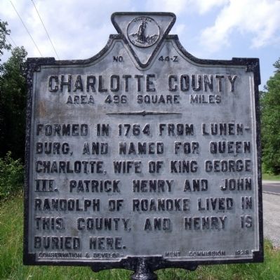
Charlotte County. Area 496 Square Miles. Formed in 1764 from Lunenburg, and named for Queen Charlotte, wife of King George III. Patrick Henry and John Randolph of Roanoke lived in this county, and Henry is buried here.
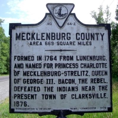
Mecklenburg County. Area 669 Square Miles. Formed in 1764 from Lunenburg, and named for Princess Charlotte, of Mecklenburg-Strelitz, queen of George III. Bacon the Rebel defeated the Indians near the present town of Clarksville, 1676.
Erected 1928 by Conservation & Development Commission. (Marker Number Z-44.)
Topics and series. This historical marker is listed in these topic lists: Native Americans • Patriots & Patriotism • Political Subdivisions. In addition, it is included in the Virginia Department of Historic Resources (DHR) series list. A significant historical year for this entry is 1764.
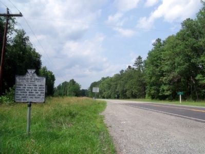
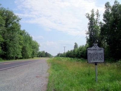
Location. 36° 43.376′ N, 78° 37.833′ W. Marker is in Red Oak, Virginia, in Charlotte County. Marker is on Barnesville Highway (U.S. 15) 0.2 miles south of Wheatland Road (County Route 640), on the right when traveling south. Touch for map. Marker is in this post office area: Red Oak VA 23964, United States of America. Touch for directions.
Other nearby markers. At least 8 other markers are within 6 miles of this marker, measured as the crow flies. Salem School (approx. 3.2 miles away); West End High School (approx. 4.8 miles away); Buffalo Springs (approx. 5.4 miles away); a different marker also named Buffalo Springs (approx. 5.4 miles away); a different marker also named Buffalo Springs (approx. 5˝ miles away); a different marker also named Buffalo Springs (approx. 5.6 miles away); Prestwould Plantation (approx. 6 miles away); Mecklenburg County / Halifax County (approx. 6 miles away).
Credits. This page was last revised on September 19, 2023. It was originally submitted on June 14, 2010, by Bernard Fisher of Richmond, Virginia. This page has been viewed 639 times since then and 17 times this year. Photos: 1, 2, 3, 4. submitted on June 14, 2010, by Bernard Fisher of Richmond, Virginia.


