Hillsborough Township near Flemington in Somerset County, New Jersey — The American Northeast (Mid-Atlantic)
The Province Line
Welcome to the Province of West Jersey
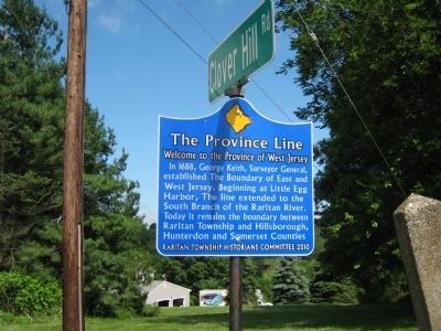
Photographed by Alan Edelson, June 17, 2010
1. The Province Line Marker
Erected 2010 by Raritan Township Historians Committee.
Topics. This historical marker is listed in this topic list: Colonial Era. A significant historical year for this entry is 1688.
Location. 40° 29.276′ N, 74° 46.949′ W. Marker is near Flemington, New Jersey, in Somerset County. It is in Hillsborough Township. It is at the intersection of Clover Hill Road and Amwell Road, on the right when traveling west on Clover Hill Road. Touch for map. Marker is at or near this postal address: 891 Amwell Rd, Flemington NJ 08822, United States of America. Touch for directions.

Regionally, this marker is in Central Jersey, in Greater Princeton, and in the New York City Metropolitan Area. It is also in the American Northeast, in the Mid-Atlantic, and on the Eastern Seaboard. Globally, it is in the North Atlantic Region, North America, the
this page online
Other nearby markers. At least 8 other markers are within 2 miles of this marker, measured as the crow flies: Poor Farm (approx. 1.2 miles away); Hillsborough Will Never Forget (approx. 1½ miles away); Old York Road (approx. 1½ miles away); Thomas P. Huff Farmstead (approx. 1.7 miles away); Mattisons Corner (approx. 2 miles away); Reaville Church (approx. 2 miles away); a different marker also named The Province Line (approx. 2 miles away); Reaville Historic District (approx. 2.1 miles away).
Related marker. Click here for another marker that is related to this marker. To better understand the relationship, study each marker in the order shown.
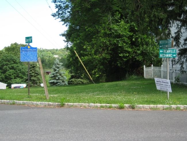
Photographed by Alan Edelson, June 17, 2010
2. The Province Line Marker
Credits. This page was last revised on September 9, 2026. It was originally submitted on June 17, 2010, by Alan Edelson of Union Twsp., New Jersey. This page has been viewed 1,831 times since then and 68 times this year. Photos: 1, 2. submitted on June 17, 2010, by Alan Edelson of Union Twsp., New Jersey. • Bill Pfingsten was the editor who published this page.
