Near Oriskany in Oneida County, New York — The American Northeast (Mid-Atlantic)
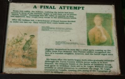
A Final Attempt
— 7th stop on the walking tour —
After the Indians left, a detachment of Royal Greens decided to make one last try. They turned their coats inside out to disguise themselves to look like a relief party coming up the valley from Fort Stanwix. One Patriot soldier recognized the face of a Loyalist neighbor, however, and the battle raged once more.
Six hours after the battle began, both sides gradually withdrew. Although the Tryon County militia never made it to Fort Stanwix, the Iroquois losses at the Battle Oriskany would lead them to withdraw their aid to St. Leger. Without enough artillery or other resources to continue the siege, St. Leger retreated to Canada, causing this prong of the Campaign of 1777 to collapse.
Topics. This historical marker is listed in these topic lists: Military • Native Americans • War, US Revolutionary. A significant historical year for this entry is 1777.
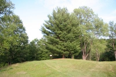
Location. Marker is missing. It was located near 43° 10.622′ N, 75° 22.124′ W. Marker was near Oriskany, New York , in Oneida County. Marker was on Rome Oriskany Road (New York State Route 69) 0.4 miles east of Monument Road, on the left when traveling east. Touch for map. Marker was in this post office area: Oriskany NY 13424, United States of America. Touch for directions.
Other nearby markers. At least 8 other markers are within walking distance of this location. The Rally (within shouting distance of this marker); Alliances Drawn (within shouting distance of this marker); A Clash of Cultures (within shouting distance of this marker); In the Valley homes was great mourning (within shouting distance of this marker); Here the Battle of Oriskany Was Fought (within shouting distance of this marker); Relief for Fort Stanwix (about 300 feet away, measured in a direct line); Welcome to Oriskany Battlefield (about 300 feet away); Site of The Battle of Oriskany (about 300 feet away). Touch for a list and map of all markers in Oriskany.
More about this marker. This historical marker is the 7th stop in a walking tour of the Oriskany Battlefield.
Regarding A Final Attempt. I stopped by this historic site on my journey to visit with my daughter's family in Connecticut. Upon arriving at in the parking area I noticed that there were some new markers, so I took the full walking tour and noticed several changes to this park site.
First, when I made my original trip here the signs indicated that it was a state park
that had fallen victim to state budget cuts. This year however the park seemed to have somehow been incorporated into the national park system and I had the opportunity to speak with a national park ranger. The ranger told me that members of the National Park Service staff from neighboring Fort Stanwix rotate service over at the Oriskany Battlefield Park on a daily basis.
Second, it appeared that the National Park Service had made some improvements to the park, including changing the course of the steep walking trail through the ravine at the ambush site, removing some old and faded markers, and added some new and different markers.
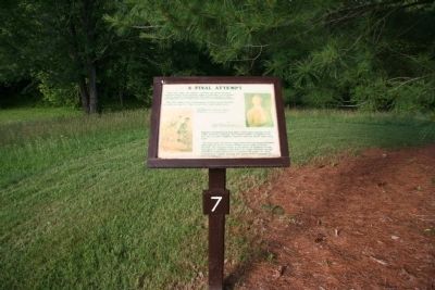
From talking with the park ranger it would appear that this marker was one of the old and faded historical markers that was removed and that there is no intention of replacing this specific historical marker.
Credits. This page was last revised on June 16, 2016. It was originally submitted on June 20, 2010, by Dale K. Benington of Toledo, Ohio. This page has been viewed 826 times since then and 6 times this year. Photos: 1, 2, 3. submitted on June 20, 2010, by Dale K. Benington of Toledo, Ohio.


