Mount Vernon near Alexandria in Fairfax County, Virginia — The American South (Mid-Atlantic)
George Washington's Gristmill
Photographed by Craig Swain, June 20, 2010
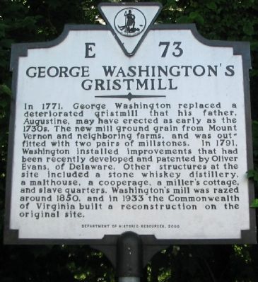
1. George Washington's Gristmill Marker
Erected 2000 by Department of Historic Resources. (Marker Number E-73.)
Topics and series. This historical marker is listed in these topic lists: Colonial Era • Industry & Commerce. In addition, it is included in the Former U.S. Presidents: #01 George Washington, and the Virginia Department of Historic Resources (DHR) series lists. A significant historical year for this entry is 1771.
Location. 38° 42.788′ N, 77° 7.837′ W. Marker is near Alexandria, Virginia, in Fairfax County. It is in Mount Vernon. It
this page online

Regionally, this marker is in the Washington Metropolitan Area and in Northern Virginia. It is also in the American South, specifically in the Upper South, in the Mid-Atlantic, and on the Eastern Seaboard. Globally, it is in the North Atlantic Region, North America, the Western Hemisphere, the Western World, and the Anglosphere. Historically, it finds itself in what was once the territory of the Mississippian Culture, one of the original Thirteen Colonies, one of the Confederate States of America, and the Antebellum South.
Other nearby markers. At least 8 other markers are within walking distance of this marker: Woodlawn (here, next to this marker); Doeg Indians (here, next to this marker); Woodlawn Cultural Landscape Historic District (a few steps from this marker); George Washington's Distillery and Gristmill in 1799
Photographed by Heather Renz, July 13, 2010
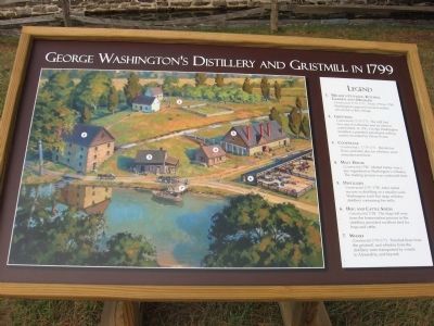
2. George Washington's Gristmill &Distillery Informational Sign
Photographed by Craig Swain
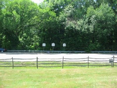
3. Markers at the Washington Grist Mill Site
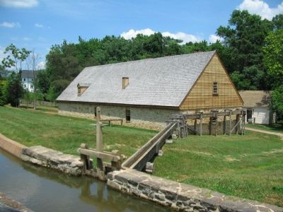
Photographed by Craig Swain, June 20, 2010
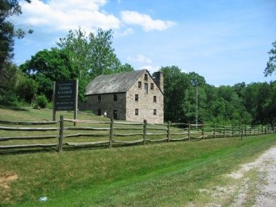
4. Reconstructed Grist Mill
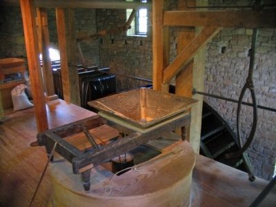
Photographed by Craig Swain, June 20, 2010
5. Millstones and Wheel
The grist mill is fully functional. During tours of the mill, guides explain each component of the process of milling grain.
Photographed by Craig Swain, June 20, 2010
6. Distillery
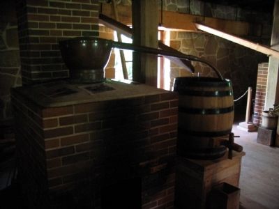
Photographed by Craig Swain, June 20, 2010
7. Still
Credits. This page was last revised on January 27, 2023. It was originally submitted on June 20, 2010, by Craig Swain of Leesburg, Virginia. This page has been viewed 1,245 times since then and 34 times this year. Photos: 1. submitted on June 20, 2010, by Craig Swain of Leesburg, Virginia. 2. submitted on August 15, 2010, by Heather Renz of Redmond, Oregon. 3, 4, 5, 6, 7. submitted on June 20, 2010, by Craig Swain of Leesburg, Virginia.
