Lexington, Virginia — The American South (Mid-Atlantic)
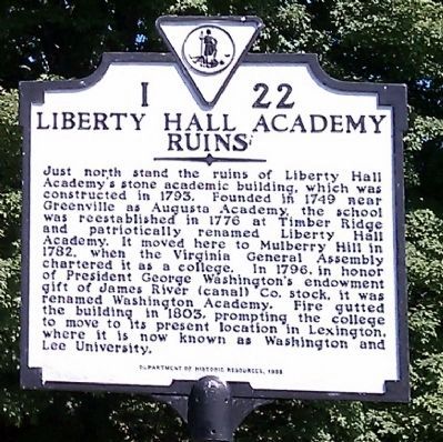
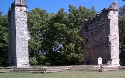
Liberty Hall Academy Ruins
Erected 1998 by Department of Historic Resources. (Marker Number I-22.)
Topics and series. This historical marker is listed in these topic lists: Colonial Era • Education • Patriots & Patriotism. In addition, it is included in the Virginia Department of Historic Resources (DHR) series list. A significant historical year for this entry is 1793.
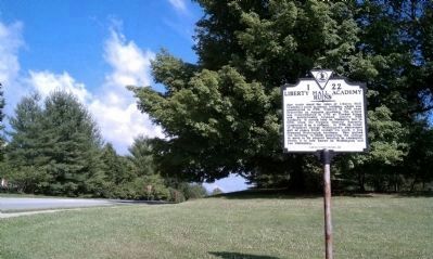
Location. 37° 47.479′ N, 79° 27.143′ W. Marker is in Lexington, Virginia. Marker is at the intersection of West Nelson Street (U.S. 60) and Woods Creek Road, on the right when traveling west on West Nelson Street. Touch for map. Marker is in this post office area: Lexington VA 24450, United States of America. Touch for directions.
Other nearby markers. At least 8 other markers are within walking distance of this marker. Liberty Hall Academy (about 700 feet away, measured in a direct line); Founding of Kappa Alpha Order (approx. ¼ mile away); Omicron Delta Kappa (approx. half a mile away); Historic Lexington Train Station (approx. half a mile away); Last Home of Traveller (approx. half a mile away); John Chavis (approx. 0.6 miles away); Bell, 1890 (approx. 0.6 miles away); Lee-Jackson House (approx. 0.6 miles away). Touch for a list and map of all markers in Lexington.
Also see . . .
1. Liberty Hall Project. Washington & Lee University Archaeology Program (Submitted on June 21, 2010.)
2. Washington & Lee University. (Submitted on June 21, 2010.)
Credits. This page was last revised on November 9, 2021. It was originally submitted on June 21, 2010, by Bernard Fisher of Richmond, Virginia. This page has been viewed 1,254 times since then and 44 times this year. Photos: 1, 2, 3. submitted on June 21, 2010, by Bernard Fisher of Richmond, Virginia.


