Martinsville in Somerset County, New Jersey — The American Northeast (Mid-Atlantic)
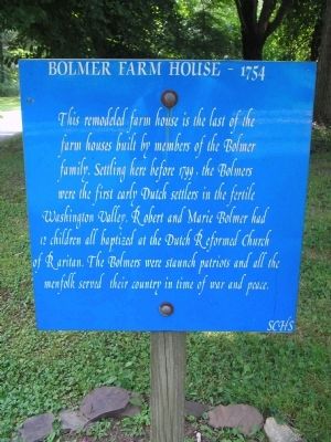
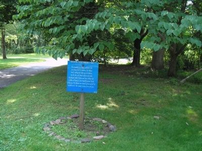
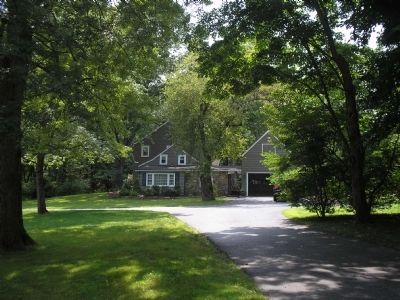
Bolmer Farm House - 1754
Erected by Somerset County Historical Society.
Topics. This historical marker is listed in these topic lists: Colonial Era • Settlements & Settlers • War, US Revolutionary. A significant historical year for this entry is 1799.
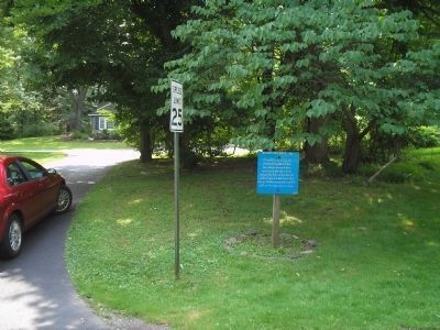
Location. 40° 36.252′ N, 74° 34.667′ W. Marker is in Martinsville, New Jersey, in Somerset County. Marker is at the intersection of W Circle Drive and Middle Road, on the right when traveling south on W Circle Drive. Touch for map. Marker is in this post office area: Martinsville NJ 08836, United States of America. Touch for directions.
Other nearby markers. At least 8 other markers are within 3 miles of this marker, measured as the crow flies. 1777 Reboubt (approx. 0.2 miles away); Revolutionary War Reboubt 1777 and 1778/79 (approx. 0.2 miles away); Persian Gulf War (approx. 1.1 miles away); 1777 Encampment (approx. 1.2 miles away); June of 1777 (approx. 2.1 miles away); Jacob Vosseller House (approx. 2.2 miles away); Washington’s Route from Princeton to Morristown (approx. 2.2 miles away); Bridgewater Township Historic Monument (approx. 2.7 miles away). Touch for a list and map of all markers in Martinsville.
Credits. This page was last revised on June 16, 2016. It was originally submitted on June 25, 2010, by Bill Coughlin of Woodland Park, New Jersey. This page has been viewed 1,387 times since then and 46 times this year. Photos: 1, 2, 3, 4. submitted on June 25, 2010, by Bill Coughlin of Woodland Park, New Jersey.


