Caldwell in Essex County, New Jersey — The American Northeast (Mid-Atlantic)
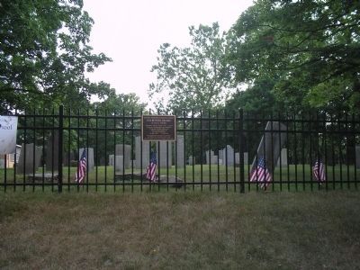
Old Burying Ground
in use ca. 1788-1881
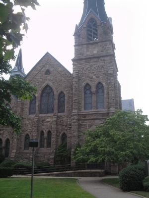
— The First Presbyterian Church at Caldwell —
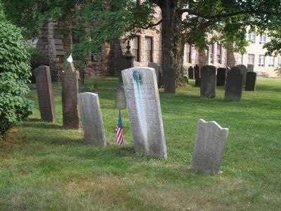
Land given in 1779 for a church and for “…a place of burial for said Congregation and Inhabitants.” Contains graves of early Caldwell area families, including veterans of The American Revolution, The War of 1812, The Civil War
Reverend Stephen Grover, the church’s first pastor and for whom President Grover Cleveland was named, lies here.
Church and cemetery are listed in the State Register of Historic Places.
Topics and series. This historical marker is listed in this topic list: Cemeteries & Burial Sites. In addition, it is included in the Former U.S. Presidents: #22 and #24 Grover Cleveland series list. A significant historical year for this entry is 1779.
Location. 40° 50.372′ N, 74° 16.559′ W. Marker is in Caldwell, New Jersey, in Essex County. Marker is on Bloomfield Avenue (New Jersey Route 507), on the right when traveling east. Touch for map. Marker is in this post office area: Caldwell NJ 07006, United States of America. Touch for directions.
Other nearby markers. At least 8 other markers are within 4 miles of this marker, measured as the crow flies. First Fire House in Caldwell (within shouting distance of this marker); Rev. James Caldwell (about 300 feet away, measured in a direct line); The Brick Store (approx. one mile away); Ancient Native American Trail (approx. 1.6 miles away); The Bloomfield Avenue School (approx. 1.7 miles away); Site of American Bronze Powder Mfg. Co. (approx. 2 miles away); Washington’s Temporary Headquarters (approx. 3.2 miles away); Morris County (approx. 3.2 miles away). Touch for a list and map of all markers in Caldwell.
Credits. This page was last revised on August 1, 2020. It was originally submitted on June 26, 2010, by Bill Coughlin of Woodland Park, New Jersey. This page has been viewed 922 times since then and 40 times this year. Photos: 1, 2, 3, 4. submitted on June 26, 2010, by Bill Coughlin of Woodland Park, New Jersey.


