Elmira in Chemung County, New York — The American Northeast (Mid-Atlantic)
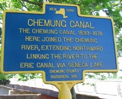
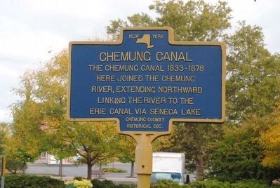
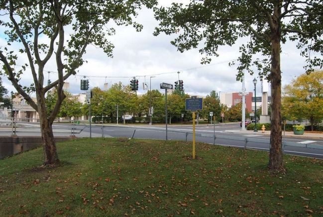
Chemung Canal
here joined the Chemung
River, extending northward
linking the river to the
Erie Canal via Seneca Lake.
Erected by Chemung County Historical Society.
Topics and series. This historical marker is listed in this topic list: Waterways & Vessels. In addition, it is included in the Erie Canal series list. A significant historical year for this entry is 1833.
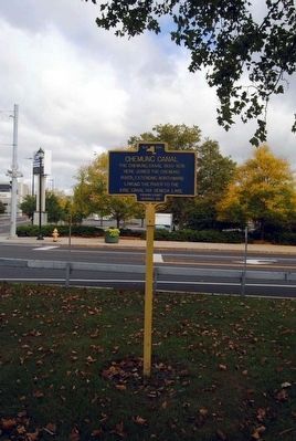
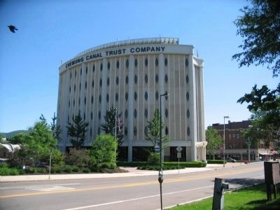
Location. 42° 5.274′ N, 76° 48.229′ W. Marker is in Elmira, New York, in Chemung County. Marker is at the intersection of East Water Street (State Highway 352) and Clemens Center Parkway (State Highway 14), on the right when traveling east on East Water Street. Touch for map. Marker is in this post office area: Elmira NY 14901, United States of America. Touch for directions.
Other nearby markers. At least 10 other markers are within walking distance of this marker. Citizens Cascade (about 400 feet away, measured in a direct line); Elmira (approx. 0.2 miles away); 107th New York Volunteers (approx. 0.2 miles away); 1776-1796 (approx. 0.2 miles away); Chemung County Korea and Vietnam Monument (approx. 0.2 miles away); Chemung County World War I Monument (approx. 0.2 miles away); AFL-CIO Veterans Monument (approx. ¼ mile away); Medal of Honor Monument (approx. ¼ mile away); Spanish War Veterans (approx. ¼ mile away); Chemung County World War II Monument (approx. ¼ mile away). Touch for a list and map of all markers in Elmira.
Related marker. Click here for another marker that is related to this marker. To better understand the relationship, study the Chemung Canal Feeder marker shown.
Also see . . .
1. Chemung Canal. Wikipedia entry:
The Chemung Canal is a former canal in New York, USA. The canal connected Seneca Lake at Watkins Glen to the Chemung River at Elmira, New York. It was planned to connect the Finger Lakes region and Pennsylvania's Susquehanna River watershed with New York's Erie Canal system. The latter connected the Great Lakes with the Hudson River and ultimately the Atlantic port of New York City. (Submitted on November 1, 2015, by Brian Scott of Anderson, South Carolina.)
2. Chemung River. Wikipedia entry:
The Chemung River is a tributary of the Susquehanna River, approximately 46.4 miles (74.7 km) long, in south central New York and northern Pennsylvania in the United States. It drains a mountainous region of the northern Allegheny Plateau in the Southern Tier of New York. The valley of the river has long been an important manufacturing center in the region but has suffered a decline in the late 20th century. (Submitted on November 1, 2015, by Brian Scott of Anderson, South Carolina.)
3. Erie Canal. Wikipedia entry:
The Erie Canal is a canal in New York that originally ran about 363 miles (584 km) from Albany, on the Hudson River to Buffalo, at Lake Erie. It was built to create a navigable water route from New York City and the Atlantic Ocean to the Great Lakes. The canal is now part of the New York State Canal System. (Submitted on November 1, 2015, by Brian Scott of Anderson, South Carolina.)
4. Seneca Lake. Wikipedia entry:
Seneca Lake is the largest of the glacial Finger Lakes of the U.S. state of New York, and the deepest lake entirely within the state. It is promoted as being the lake trout capital of the world, and is host of the National Lake Trout Derby. (Submitted on November 1, 2015, by Brian Scott of Anderson, South Carolina.)
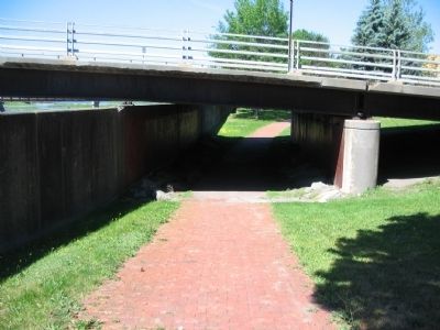
Photographed By Craig Swain, May 30, 2010
6. Canal Junction
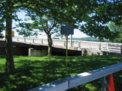
An 1855 map of Elmira indicates the canal joined the Chemung River near where the Clemens Center Parkway bridge abutments stand today. A separate canal, known as the Junction Canal, joined the canal further north. It connected the Chemung Canal with Athens, Pennsylvania, downriver from Elmira.
Credits. This page was last revised on March 27, 2022. It was originally submitted on June 26, 2010, by Craig Swain of Leesburg, Virginia. This page has been viewed 2,401 times since then and 71 times this year. Photos: 1. submitted on June 26, 2010, by Craig Swain of Leesburg, Virginia. 2, 3. submitted on November 1, 2015, by Brian Scott of Anderson, South Carolina. 4. submitted on June 26, 2010, by Craig Swain of Leesburg, Virginia. 5. submitted on November 1, 2015, by Brian Scott of Anderson, South Carolina. 6, 7. submitted on June 26, 2010, by Craig Swain of Leesburg, Virginia.
