Fredericksburg, Virginia — The American South (Mid-Atlantic)
Bound for Freedom
Trail to Freedom
— Fredericksburg: Timeless. —
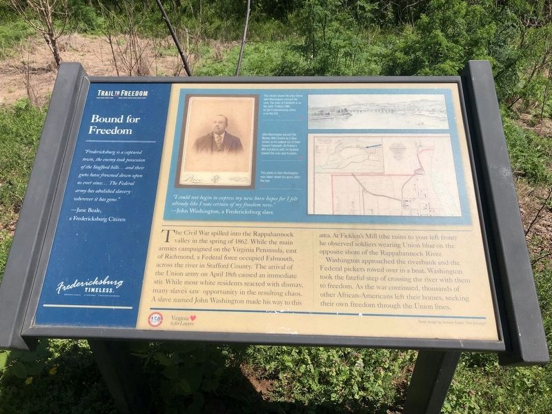
“Fredericksburg is a captured town, the enemy took possession of the Stafford Hills … and their guns have frowned down upon us ever since… The Federal army has abolished slavery wherever it has gone.”
— Jane Beale,
a Fredericksburg Citizen
“I could not begin to express my new born hopes for I felt already like I was certain of my freedom now.”
— John Washington, a Fredericksburg slave
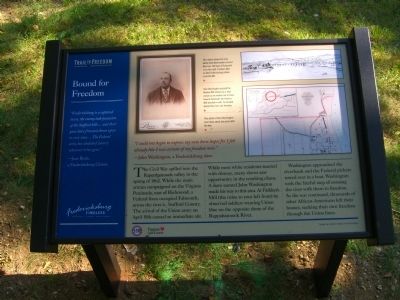
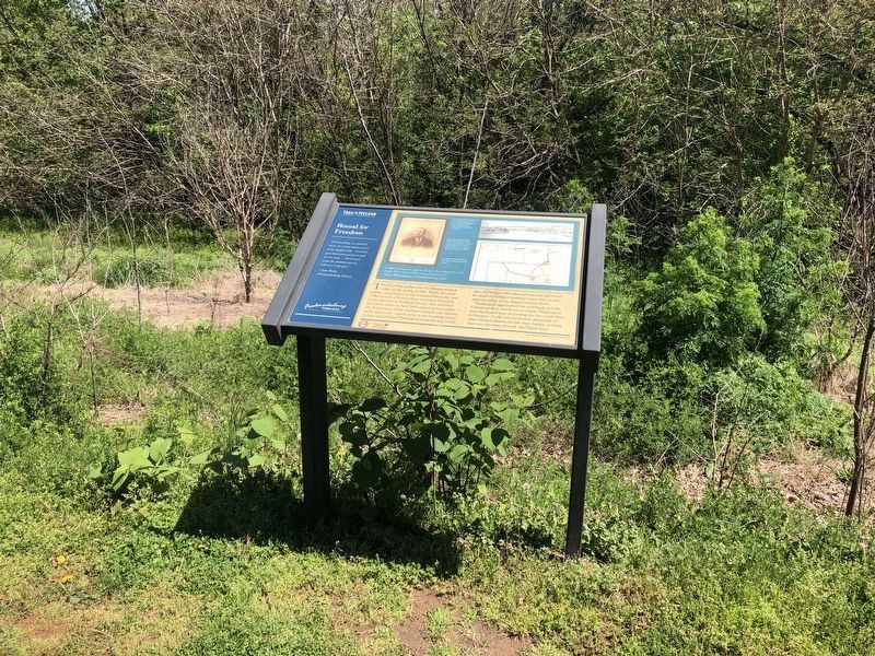
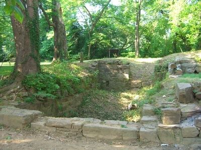
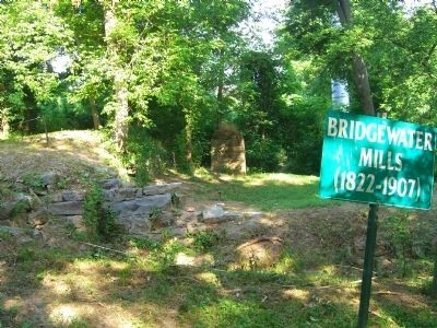
The Civil War spilled into the Rappahannock valley in the spring of 1862. While the main armies campaigned on the Virginia Peninsula, east of Richmond, a Federal force occupied Falmouth, across the river in Stafford County. The arrival of the Union army on April 18th caused an immediate stir. While most white residents reacted with dismay, many slaves saw opportunity in the resulting chaos. A slave named John Washington made his way to this area. At Ficklen’s Mill (the ruins to your left front) he observed soldiers wearing Union blue on the opposite shore of the Rappahannock River.
Washington approached the riverbank and the Federal pickets rowed over in a boat. Washington took the fateful step of crossing the river with them to freedom. As the war continued, thousands of other African-Americans left their homes, seeking their own freedom through the Union lines.
[Captions:]
This sketch shows the area where John Washington crossed the river. The town of Falmouth is on the right. Flicklen’s Mill, on the Fredericksburg shore, is on the left.
John Washington passed the Woolen Mill (shown by a blue arrow) as he walked out of town toward Falmouth. At Ficklen’s Mill (circled in red), he headed toward the river and freedom.
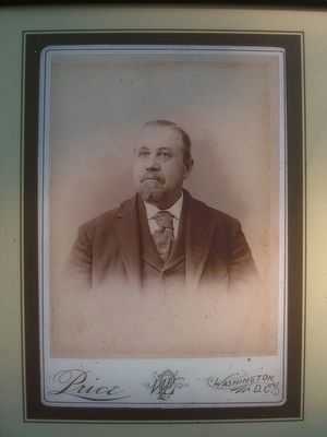
This photo of John Washington was taken about ten years after the war.
Erected 2010 by Fredericksburg Economic Development and Tourism Office.
Topics and series. This historical marker is listed in these topic lists: African Americans • War, US Civil. In addition, it is included in the Virginia, Fredericksburg: Timeless. series list. A significant historical month for this entry is April 1964.
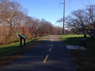
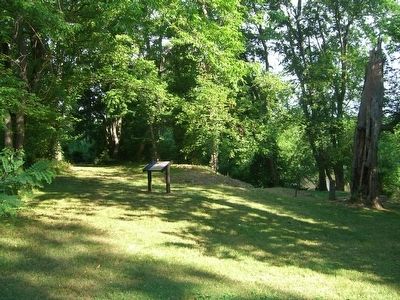
Location. 38° 19.079′ N, 77° 28.196′ W. Marker is in Fredericksburg, Virginia. Marker is on Caroline Street just north of Forbes Street, on the right when traveling west. Marker is along the Fredericksburg Heritage Trail. Touch for map. Marker is at or near this postal address: 2616 Caroline St, Fredericksburg VA 22401, United States of America. Touch for directions.
Other nearby markers. At least 8 other markers are within walking distance of this marker. A History of Floods (within shouting distance of this marker); Killed in Action Memorials (about 400 feet away, measured in a direct line); Veterans of Foreign Wars Eternal Flame
(about 400 feet away); Encounter at the Fall Line (about 700 feet away); Freedom Began Here (approx. ¼ mile away); Anthony Burns (approx. ¼ mile away); Moncure Conway House (approx. ¼ mile away); Moncure Daniel Conway (approx. ¼ mile away). Touch for a list and map of all markers in Fredericksburg.
More about this marker. The picture in the upper right of the marker is captioned, "This sketch shows the area where John Washington crossed the river. The town of Falmouth is on the right. Flicklen’s Mill, on the Fredericksburg shore, is on the left."
The lower picture in the upper right of the marker shows the path John Washington took to freedom. "John Washington passed the Woolen Mil (shown by a blue arrow) as he walked out of town toward Falmouth. At Ficklen’s Mill (circled in red), he headed toward the river and freedom."
Related marker. Click here for another marker that is related to this marker. The Freedom Began Here Marker, across the Rappahannock River at the Historic Port of Falmouth Park.
Credits. This page was last revised on February 29, 2024. It was originally submitted on June 29, 2010, by Kevin W. of Stafford, Virginia. This page has been viewed 1,349 times since then and 23 times this year. Photos: 1. submitted on May 3, 2020, by Devry Becker Jones of Washington, District of Columbia. 2. submitted on June 29, 2010, by Kevin W. of Stafford, Virginia. 3. submitted on May 3, 2020, by Devry Becker Jones of Washington, District of Columbia. 4. submitted on November 26, 2015, by Kevin W. of Stafford, Virginia. 5, 6, 7, 8. submitted on June 29, 2010, by Kevin W. of Stafford, Virginia. • Craig Swain was the editor who published this page.
Editor’s want-list for this marker. Picture of the river bank where slaves crossed on the Trail to Freedom. • Can you help?
