
Danville in Vermilion County, Illinois — The American Midwest (Great Lakes)
Trail of Death 1838
| — | Ellsworth Park | — |
Photographed by Al Wolf, June 30, 2010
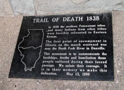
1. Trail of Death 1838 Marker
(Click on any of these photos to see the details.)
In 1838 the northern Potawatami tribes and many Indians from other tribes were forcibly relocated to Eastern Kansas.
The first point to encampment in Illinois on the march westward was near the North Fork River in Danville.
This monument is to commemorate the hardships, deaths and humiliation these people suffered during their forced passage. We salute their courage. It is in their memory we make this dedication.
Erected 1990 by Society of Indian Lore.
Topics and series. This historical marker is listed in these topic lists: Indigenous Peoples and Communities • Notable Events • Notable Places. In addition, it is included in the Potawatomi Trail of Death series list. A significant historical date for this entry is May 13, 1990.
Location. 40° 7.512′ N, 87° 38.405′ W. Marker is in Danville, Illinois, in Vermilion County. It is on West Ellsworth Street south of Oakwood Avenue, on the left when traveling south. Located in Ellsworth Park. Turn North on 'Ave A' from West Main Street (a.k.a. U.S. 150), then turn right on Oakwood Avenue - follow it (which becomes - West. Ellsworth Street): The marker is on the left.
this page online

Regionally, this marker is in Central Illinois. It is also in the American Midwest and in the Corn Belt. Globally, it is in North America, the Western Hemisphere, the Western World, and the Anglosphere. Historically, it finds itself in what was once the territory of the Mississippian Culture and also the Northwest Territory.
Other nearby markers. At least 8 other markers are within walking distance of this marker: Robert E. Wurtsbaugh (here, next to this marker); Abraham Lincoln - Eighth Judicial District (approx. 0.2 miles away); Aircraft in Honor of Chanute Air Force Base (approx. 0.2 miles away); World War I Memorial (approx. ¼ mile away); A Friend Forever (approx. ¼ mile away); Dr. William Fithian Home (approx. ¼ mile away); Historic Millstone (approx. 0.3 miles away); Abraham Lincoln (approx. 0.3 miles away). Touch for a list and map of all markers in Danville.
Also see . . .
1. Official Web Site - - "Potawatomi Trail of Death Association" : :. Danville - Ellsworth Park visited by the "Potawatomi
Photographed by Al Wolf, June 30, 2010
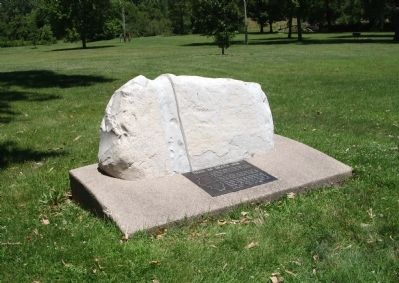
2. Wide View - - Trail of Death 1838 Marker
2. Trail of Death map. Also, some facts of things that happened along the way of travel. (Submitted on July 1, 2010, by Al Wolf of Veedersburg, Indiana.)
3. History and More Items:. This Official Web-site of the "Potawatomi Trail of Death Association" is the center of activity and information - with many excellent links. (Submitted on July 1, 2010, by Al Wolf of Veedersburg, Indiana.)
Photographed by Al Wolf, June 30, 2010
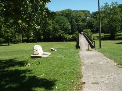
3. Looking North/East - - Trail of Death 1838 Marker
Photographed by Al Wolf, June 30, 2010
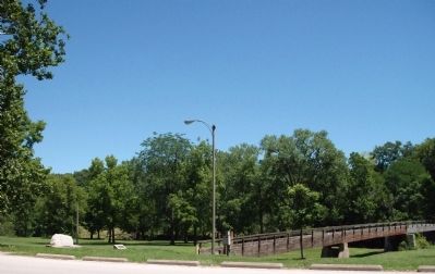
4. Looking North - - Trail of Death 1838 Marker
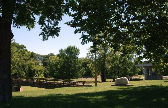
Photographed by Al Wolf, June 30, 2010
5. Looking East - - Trail of Death 1838 Marker
Credits. This page was last revised on September 16, 2024. It was originally submitted on July 1, 2010, by Al Wolf of Veedersburg, Indiana. This page has been viewed 2,544 times since then and 123 times this year. Photos: 1, 2, 3, 4, 5. submitted on July 1, 2010, by Al Wolf of Veedersburg, Indiana. • Bill Pfingsten was the editor who published this page.
