Ehrhardt in Bamberg County, South Carolina — The American South (South Atlantic)
St. Johns Baptist Church
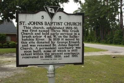
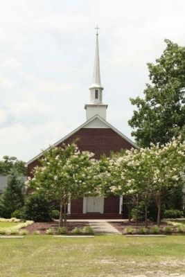
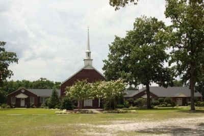
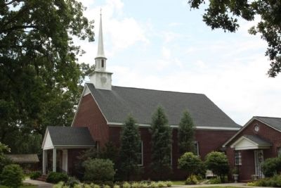
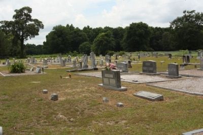
This church, established 1829 30, was first named Three Mile Creek Church and held early services in a brush arbor 4 mi. W on the Salkehatchie River. In 1839 it moved to this site donated by George Kinard, and was renamed St. Johns Baptist Church. A permanent sanctuary was soon built, some of which is still extant within the present sanctuary, renovated in 1865, 1938, and 1961.
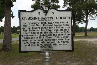
(Reverse text)
In February 1865, near the end of the Civil War, Federal troops took up the floorboards for a bridge over the Salkehatchie River and stabled their horses in the church; the U.S. government reimbursed the church for damages in 1912. Two of St. Johns' most prominent ministers were Rev. E.W. Peeples, who served 1877-1908, and Rev. E.W. Hollis, who served 1933-1961.
Erected 1997 by The Congregation. (Marker Number 5-5.)
Topics. This historical marker is listed in these topic lists: Churches & Religion • War, US Civil. A significant historical month for this entry is February 1865.
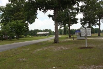
Location. 33° 4.104′ N, 81° 3.953′ W. Marker is in Ehrhardt, South Carolina, in Bamberg County. Marker is on St. Johns Church Road (State Highway 5-93) near Pocketville Road, on the right when traveling east. Touch for map. Marker is in this post office area: Ehrhardt SC 29081, United States of America. Touch for directions.
Other nearby markers. At least 8 other markers are within 2 miles of this marker, measured as the crow flies. Colleton County Confederate Soldiers (approx. 1.4 miles away); A Tradition of Remembering, A Legacy of Preservation (approx. 1.4 miles away); Our Confederate Dead (approx. 1.4 miles away); Rivers Bridge Confederate Dead (approx. 1.4 miles away); Four County WW II Memorial (approx. 1.4 miles away); Rivers Bridge State Historic Site (approx. 1˝ miles away); Bamberg County (approx. 1˝ miles away); Battle Of Rivers’ Bridge (approx. 1.6 miles away). Touch for a list and map of all markers in Ehrhardt.
Credits. This page was last revised on June 16, 2016. It was originally submitted on July 3, 2010, by Mike Stroud of Bluffton, South Carolina. This page has been viewed 1,086 times since then and 25 times this year. Photos: 1, 2, 3, 4, 5, 6, 7. submitted on July 3, 2010, by Mike Stroud of Bluffton, South Carolina.
