Near Young Harris in Union County, Georgia — The American South (South Atlantic)
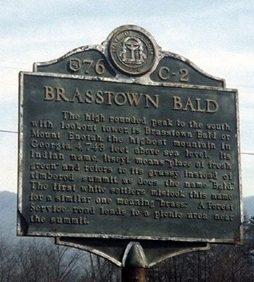
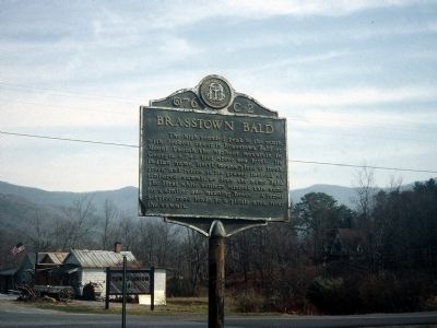
Brasstown Bald
Erected by Works Progress Administration. (Marker Number US 76 C-2.)
Topics and series. This historical marker is listed in these topic lists: Native Americans • Natural Features • Notable Places. In addition, it is included in the Works Progress Administration (WPA) projects series list.
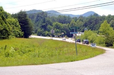
Location. Marker has been reported missing. It was located near 34° 54.638′ N, 83° 52.065′ W. Marker was near Young Harris, Georgia, in Union County. Marker was at the intersection of Young Harris Highway (U.S. 76) and Trackrock Gap Road, on the right when traveling east on Young Harris Highway. Touch for map. Marker was in this post office area: Young Harris GA 30582, United States of America. Touch for directions.
Other nearby markers. At least 8 other markers are within 6 miles of this location, measured as the crow flies. Track Rock Gap (approx. 2 miles away); a different marker also named Brasstown Bald (approx. 4.1 miles away); Returning Fire to the Mountains (approx. 4.1 miles away); Appalachian Trail (approx. 4.1 miles away); Designated Wilderness (approx. 4.1 miles away); Logan Turnpike (approx. 4.1 miles away); Gold Rush Spurs Cherokee Removal (approx. 4.1 miles away); Union County War Memorial (approx. 5˝ miles away).
More about this marker. There's a transposition in the text; the correct height of Brasstown Bald is 4784 feet.
Credits. This page was last revised on January 25, 2021. It was originally submitted on December 5, 2008, by David Seibert of Sandy Springs, Georgia. This page has been viewed 1,521 times since then and 21 times this year. Last updated on July 3, 2010, by David Seibert of Sandy Springs, Georgia. Photos: 1, 2. submitted on December 5, 2008, by David Seibert of Sandy Springs, Georgia. 3. submitted on July 3, 2010, by David Seibert of Sandy Springs, Georgia. • Craig Swain was the editor who published this page.


