Knoxville in Knox County, Tennessee — The American South (East South Central)
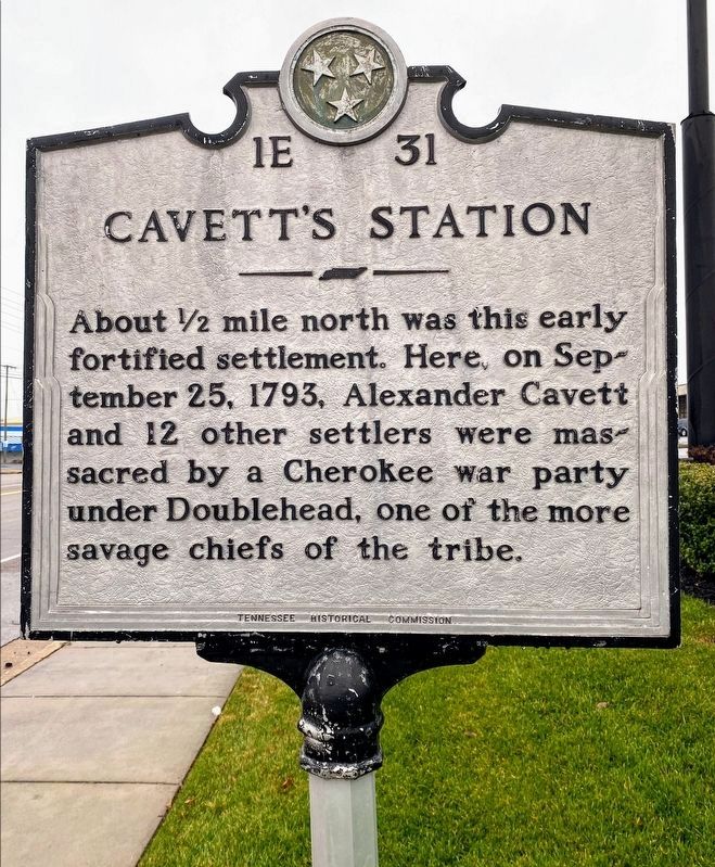
Cavett's Station
Erected by Tennessee Historical Commission. (Marker Number 1E 31.)
Topics and series. This historical marker is listed in these topic lists: Forts and Castles • Settlements & Settlers • Wars, US Indian. In addition, it is included in the Tennessee Historical Commission series list. A significant historical date for this entry is September 25, 1793.
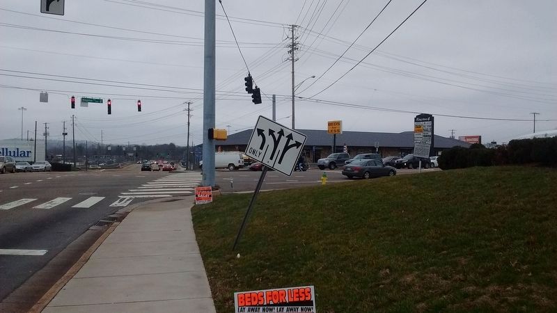
Location. 35° 55.389′ N, 84° 3.515′ W. Marker is in Knoxville, Tennessee, in Knox County. Marker is at the intersection of Kingston Pike (U.S. 11 70) and Kingston Pike and Gallaher View Rd, on the right when traveling east on Kingston Pike. Touch for map. Marker is at or near this postal address: 8375 Kingston Pike, Knoxville TN 37919, United States of America. Touch for directions.
Other nearby markers. At least 8 other markers are within 5 miles of this marker, measured as the crow flies. Fallen Military Heroes of Bearden High (about 800 feet away, measured in a direct line); In Grateful Memory to the Defenders of Cavett Blockhouse (approx. ¾ mile away); States View (approx. 1.4 miles away); The Baker-Peters-Rogers House (approx. 1½ miles away); Ball Camp (approx. 1.8 miles away); Robert Reynolds (approx. 2.8 miles away); Herbert H. Hoover (approx. 4 miles away); The Everly Brothers (approx. 4.4 miles away). Touch for a list and map of all markers in Knoxville.
Also see . . . Doublehead, A Cherokee Traitor. (Submitted on February 12, 2017, by Tom Bosse of Jefferson City, Tennessee.)
Credits. This page was last revised on February 16, 2021. It was originally submitted on July 5, 2010, by Donald Raby of Knoxville, Tennessee. This page has been viewed 2,489 times since then and 74 times this year. Photos: 1. submitted on February 14, 2021, by Shane Oliver of Richmond, Virginia. 2. submitted on February 12, 2017, by Tom Bosse of Jefferson City, Tennessee. 3. submitted on October 29, 2017, by Tom Bosse of Jefferson City, Tennessee. • Bill Pfingsten was the editor who published this page.


