Inner Harbor in Baltimore, Maryland — The American Northeast (Mid-Atlantic)
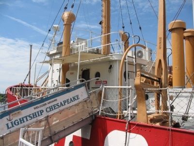
Lightship Chesapeake
The Baltimore Maritime Museum
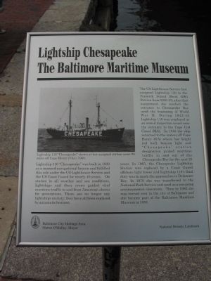
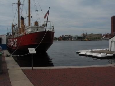
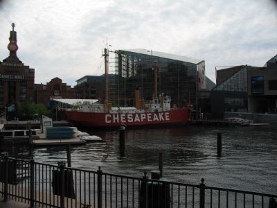
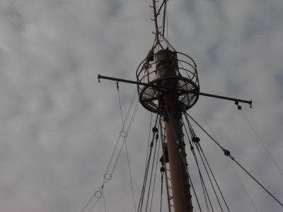
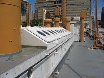
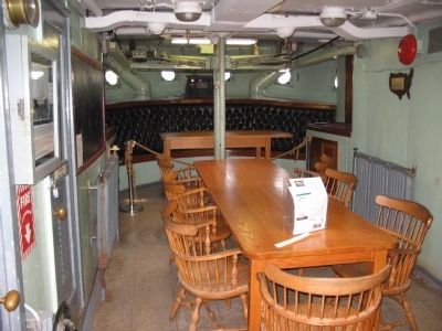
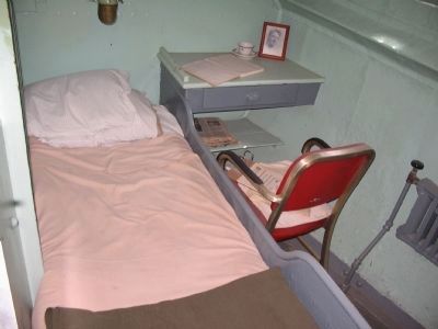
The US Lighthouse Service first assigned Lightship 116 to the Fenwick Island Shoal (DE) Station from 1930-33; after that assignment she marked the entrance to Chesapeake Bay until the beginning of World War II. During 1942-45 Lightship 116 was employed as an armed inspection vessel near the entrance to the Cape Cod Canal (MA). In 1945 the ship returned to the waters off Cape Henry (VA) where her bright red hull, beacon light and "Chesapeake" station designation guided maritime traffic in and out of the Chesapeake Bay for the next 20 years. In 1965, the Chesapeake Lightship Station was replaced by a Coast Guard offshore light tower and Lightship 116's final duty was to mark the approaches to Delaware Bay. In 1970 she was transferred to the National Park Service and used as a sea-going environmental classroom. Then in 1982 she was turned over to the city of Baltimore and she became part of the Baltimore Maritime Museum in 1988.
Erected by Baltimore City Heritage Area.
Topics. This historical marker is listed in this topic list: Waterways & Vessels. A significant historical year for this entry is 1930.
Location. 39° 17.159′ N, 76° 36.526′ W. Marker is in Baltimore, Maryland. It is in the Inner Harbor. Marker is on East Pratt Street, on the right when traveling east. Located along the Baltimore Inner Harbor walkway. Touch for map. Marker is in this post office area: Baltimore MD 21202, United States of America. Touch for directions.
Other nearby markers. At least 8 other markers are within walking distance of this marker. The Great Baltimore Oyster Partnership (a few steps from this marker); Piedmont Plateau (within shouting distance of this marker); Living Classrooms (within shouting distance of this marker); Living with Wildlife (within shouting distance of this marker); "Yuai" (within shouting distance of this marker); Baltimore Riot Trail (within shouting distance of this marker); Together we remember the people of Maryland who perished on 9.11.2001 (about 300 feet away, measured in a direct line); Historic Ships in Baltimore (about 300 feet away). Touch for a list and map of all markers in Baltimore.
More about this marker. On the left is a photo of Lightship 116 "Chesapeake" shown at her assigned station some 20 miles off Cape Henry (VA) c 1960.
Credits. This page was last revised on August 5, 2021. It was originally submitted on July 6, 2010, by Craig Swain of Leesburg, Virginia. This page has been viewed 1,202 times since then and 12 times this year. Photos: 1, 2, 3, 4, 5, 6, 7, 8. submitted on July 6, 2010, by Craig Swain of Leesburg, Virginia.
