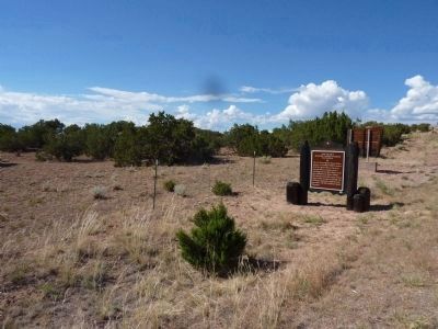
Nambe Pueblo in Santa Fe County, New Mexico — The American Mountains (Southwest)
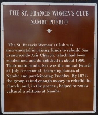
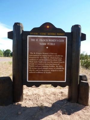
The St. Francis Women's Club
Nambe Pueblo
Erected by New Mexico Historic Preservation Division and Department of Highways.
Topics and series. This historical marker is listed in these topic lists: Churches & Religion • Fraternal or Sororal Organizations • Native Americans • Women. In addition, it is included in the New Mexico Women’s Historic Marker Initiative series list. A significant historical year for this entry is 1960.
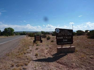
Location. 35° 54.474′ N, 105° 58.481′ W. Marker is in Nambe Pueblo, New Mexico, in Santa Fe County. Marker is on State Road 503, 3.2 miles east of U.S. 84, on the right when traveling west. This marker is approximately 1.1 mile east of NP (Nambe Pueblo) 101. It is adjacent to the U.S. Bureau of Reclamation (BOR) Nambe Falls Dam sign. Touch for map. Marker is in this post office area: Santa Fe NM 87501, United States of America. Touch for directions.
Other nearby markers. At least 8 other markers are within 8 miles of this marker, measured as the crow flies. Feliciana Tapia Viarrial (1904-1988) (approx. 2.8 miles away); Tesuque Rain Gods (approx. 5.7 miles away); Pueblo of Tesuque (approx. 5.7 miles away); Santuario de Chimayó (approx. 6.1 miles away); Chimayo (approx. 7 miles away); Santa Cruz de la Cañada / Santa Cruz Plaza on the Camino Real (approx. 7.1 miles away); Jémez Mountains (approx. 7.3 miles away); Pueblo of Santa Clara (approx. 7.8 miles away).
More about this marker. Photography is not allowed in the Pueblo central area/plaza. There is no photo of the church.
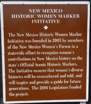
This marker is part of the New Mexico Historic Women Marker Initiative Program.
Also see . . . Nambe Pueblo Wikipedia Entry. (Submitted on July 9, 2010.)
Credits. This page was last revised on September 24, 2020. It was originally submitted on July 9, 2010. This page has been viewed 971 times since then and 10 times this year. Photos: 1, 2, 3, 4, 5. submitted on July 9, 2010. • Syd Whittle was the editor who published this page.
