Paterson in Passaic County, New Jersey — The American Northeast (Mid-Atlantic)
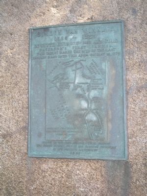
Simeon Van Winkles
1686 - 1775
Patersonís First Tanner
This tablet marks the site of the last
British raid into this area on May 18, 1779.
Placed by the Capt. Abraham Goodwin Chapter,
New Jersey Society, Sons of the American Revolution
on itís fortieth anniversary
1961
Erected 1961 by New Jersey Society, Sons of the American Revolution, Capt. Abraham Goodwin Chapter.
Topics and series. This historical marker is listed in these topic lists: Colonial Era • Settlements & Settlers • War, US Revolutionary. In addition, it is included in the Sons of the American Revolution (SAR) series list. A significant historical month for this entry is May 1870.
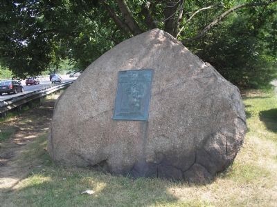
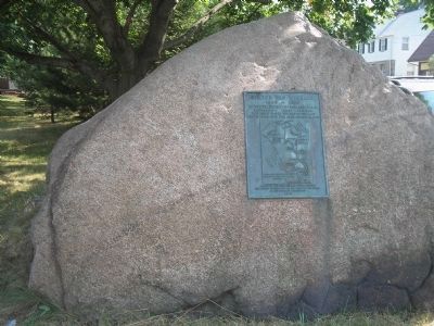
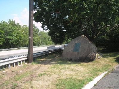
Location. 40° 54.719′ N, 74° 8.069′ W. Marker is in Paterson, New Jersey, in Passaic County. Marker is on E 42nd Street, on the right when traveling north. Marker is located at the northern end of E 42nd Street, overlooking Route 20. Touch for map. Marker is in this post office area: Paterson NJ 07504, United States of America. Touch for directions.
Other nearby markers. At least 8 other markers are within 2 miles of this marker, measured as the crow flies. Pulaski (approx. 0.3 miles away); Abraham Godwin (approx. 0.3 miles away); Passaic County Soldiers and Sailors Monument (approx. 0.3 miles away); Curie (approx. 0.3 miles away); The York Road (approx. half a mile away); Morlot Ave - 33rd St. Bridge Over the Passaic River (approx. 0.9 miles away); In Memory of Fair Lawn Police Officer Mary Ann Collura (approx. one mile away); Fair Lawn Memorial Park (approx. 1.2 miles away). Touch for a list and map of all markers in Paterson.
More about this marker. The map features a relief map of the vicinity of the marker, “From Gen. Robert Erskineís map no. 79 and British War Maps of 1775.”
Credits. This page was last revised on June 16, 2016. It was originally submitted on July 16, 2010, by Bill Coughlin of Woodland Park, New Jersey. This page has been viewed 991 times since then and 28 times this year. Photos: 1, 2, 3, 4. submitted on July 16, 2010, by Bill Coughlin of Woodland Park, New Jersey.


