Fleet in Norfolk, Virginia — The American South (Mid-Atlantic)
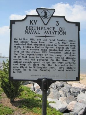
Birthplace of Naval Aviation
Erected 2000 by Department of Historic Resources. (Marker Number KV-3.)
Topics and series. This historical marker is listed in these topic lists: Air & Space • Military • Waterways & Vessels. In addition, it is included in the Virginia Department of Historic Resources (DHR) series list. A significant historical date for this entry is October 14, 1910.
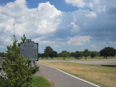
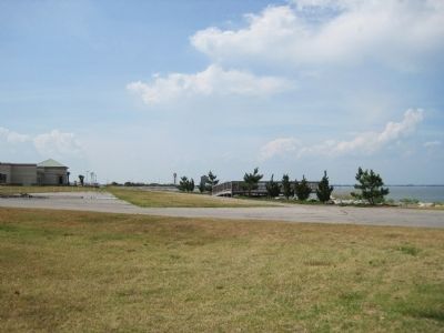
Location. 36° 57.334′ N, 76° 19.006′ W. Marker is in Norfolk, Virginia. It is in Fleet. Marker is on Massey Hughes Drive, 0.1 miles east of Maryland Avenue, on the left when traveling east. Marker is on the U.S. Naval Station, on Vista Point. Hampton Boulevard (State Route 337) ends at Gate 2, where Maryland Avenue inside the naval base begins. Touch for map. Marker is in this post office area: Norfolk VA 23511, United States of America. Touch for directions.
Other nearby markers. At least 8 other markers are within 2 miles of this marker, measured as the crow flies. USS Cole DDG 67 (about 700 feet away, measured in a direct line); USS Cole (DDG 67) Memorial (approx. 0.2 miles away); Virginia and Monitor (approx. ¼ mile away); We remember turret two ... (approx. ¼ mile away); Naval Air Station Norfolk (approx. 0.6 miles away); Navy Mess Attendant School (approx. 0.7 miles away); Naval Aviation Depot, Norfolk (approx. 1.3 miles away); U.S. Submarine Veterans W.W. II Memorial (approx. 1.4 miles away). Touch for a list and map of all markers in Norfolk.
Credits. This page was last revised on February 1, 2023. It was originally submitted on July 18, 2010, by Kevin W. of Stafford, Virginia. This page has been viewed 1,282 times since then and 25 times this year. Photos: 1, 2, 3. submitted on July 18, 2010, by Kevin W. of Stafford, Virginia.


