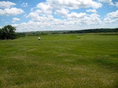
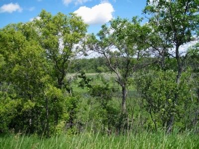
Near Fort Clark in Mercer County, North Dakota — The American Midwest (Upper Plains)
Fort Clark Historic Site
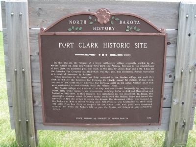
Tilton returned to St. Louis, but Kipp remained at the Mandan village and built Fort Clark in 1831 for the American Fur Company. Fort Clark, named for Captain William Clark, was one of the three major American Fur Company posts on the upper Missouri River that were established to deal directly with the various tribes.
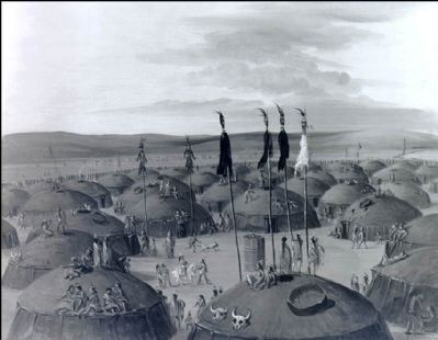
The Mandan village was a center of activity and was visited frequently by neighboring tribes, early white explorers and adventurers, including Catlin in 1832 and Maximilian and Bodmer in 1833-1834. In 1837, smallpox was introduced by the steamboat, St. Peters. The catastrophic epidemic which followed nearly annihilated the Mandan Tribe and forced the survivors to flee the village to escape the disease. The abandoned village was occupied by the Arikara in 1838. A second trading post, Fort Primeau, was established (ca. 1848) about 300 yards from Fort Clark to compete for the Indian trade. Both posts were abandoned prior to 1861 when the Arikara left to join the Mandan and Hidatsa at Like-a-Fishhook village.
Erected 1975 by State Historical Society of North Dakota.
Topics. This historical marker is listed in these topic lists: Forts and Castles • Native Americans. A significant historical year for this entry is 1831.
Location. 47° 15.178′ N, 101° 16.691′ W. Marker is near Fort Clark, North Dakota, in Mercer County. Marker is on unnamed paved road, on the right when traveling north. Site is located 0.6 miles north of state hwy. 200A. Touch for map. Marker is in this post office area: Stanton ND 58571, United States of America. Touch for directions.
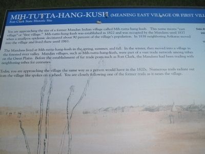
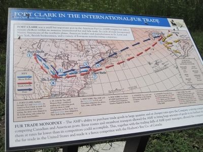
Other nearby markers. At least 8 other markers are within walking distance of this marker. Mih-tutta-hang-kush (meaning East Village or First Village) (about 400 feet away, measured in a direct line); Palisade Wall (about 600 feet away); Fort Clark in the International Fur Trade (approx. 0.2 miles away); Corrals (approx. 0.2 miles away); Smallpox and the Central Plaza (approx. 0.2 miles away); Earthlodges (approx. ¼ mile away); Mandans and Arikaras of the Village (approx. ¼ mile away); Fort Mandan Overlook (approx. ¼ mile away).
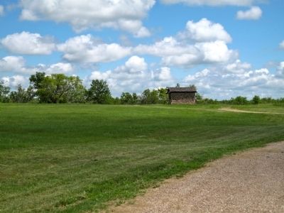
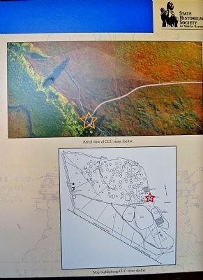
Regarding Fort Clark Historic Site. An Arikara burial ground containing over 800 graves is located southwest of the village. The location of the ruins of houses, graves, and other surface features can be seen in the aerial photograph on the ND Historical web site.
Fort Clark was about 120 feet by 160 feet. It was abandoned in 1860 when the south half of the trading post burned.
Fort Primeau was about 70 feet by 120 feet. It was abandoned and/or burned in 1861.
Also see . . .
1. Fort Clark State Historical Site. (Submitted on July 20, 2010, by David Bullard of Seneca, South Carolina.)
2. Knife River Indian Villages. (Submitted on July 23, 2010, by David Bullard of Seneca, South Carolina.)
Credits. This page was last revised on June 16, 2016. It was originally submitted on July 20, 2010, by David Bullard of Seneca, South Carolina. This page has been viewed 1,691 times since then and 34 times this year. Photos: 1, 2, 3, 4, 5, 6, 7. submitted on July 20, 2010, by David Bullard of Seneca, South Carolina. 8. submitted on July 23, 2010, by David Bullard of Seneca, South Carolina. • Bill Pfingsten was the editor who published this page.
