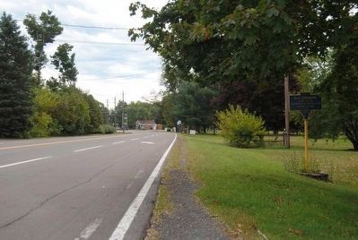
Chemung in Chemung County, New York — The American Northeast (Mid-Atlantic)
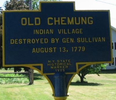
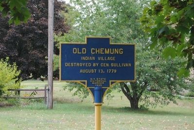
Old Chemung
destroyed by Gen. Sullivan
August 13, 1779
Erected 1929 by New York State.
Topics. This historical marker is listed in these topic lists: Native Americans • War, US Revolutionary. A significant historical date for this entry is August 13, 1779.
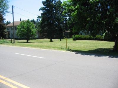
Location. 42° 0.544′ N, 76° 37.517′ W. Marker is in Chemung, New York, in Chemung County. Marker is at the intersection of Main Street (County Road 60) and Wyncoop Creek Road (County Road 3), on the right when traveling east on Main Street. Touch for map. Marker is in this post office area: Chemung NY 14825, United States of America. Touch for directions.
Other nearby markers. At least 10 other markers are within 4 miles of this marker, measured as the crow flies. Junction Canal (about 300 feet away, measured in a direct line); The Sullivan-Clinton Campaign — 1779 (about 300 feet away); Sullivan Road (approx. ¼ mile away); Military Route (approx. 0.9 miles away); Chemung (approx. 2.3 miles away); Chemung Village (approx. 2.3 miles away); Soldiers of the American Revolution (approx. 3 miles away); Riverside Cemetery (approx. 3 miles away); a different marker also named Soldiers of the American Revolution (approx. 3 miles away); Battle of Chemung (approx. 3½ miles away). Touch for a list and map of all markers in Chemung.
Credits. This page was last revised on June 16, 2016. It was originally submitted on July 21, 2010, by Craig Swain of Leesburg, Virginia. This page has been viewed 1,037 times since then and 24 times this year. Photos: 1. submitted on July 21, 2010, by Craig Swain of Leesburg, Virginia. 2, 3. submitted on November 6, 2015, by Brian Scott of Anderson, South Carolina. 4. submitted on July 21, 2010, by Craig Swain of Leesburg, Virginia. 5. submitted on November 6, 2015, by Brian Scott of Anderson, South Carolina.
