Near Fredericksburg in Stafford County, Virginia — The American South (Mid-Atlantic)
Camp Pitcher
History at Leeland Station
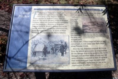
Soldiers scavenged livestock, fence rails, crops and lumber from local inhabitants. After four months at this location, the area was stripped clean. In March 1863, Union troops left Bell-Air and moved to new camps near Belle Plain along Potomac Creek.
After the war, Primmer received, $2,752.50 from the federal government as compensation for the damage done to his property. His list of damages included four miles of fence and 160 acres of timber consumed as fuel; 20 cords of fruit trees destroyed; hogs, hay and fodder taken; and boards confiscated for use in the construction of coffins.
Erected by Maryland Development Company LLC and the homeowners of Leeland Station.
Topics. This historical marker is listed in this topic list: War, US Civil . A significant historical month for this entry is March 1863.
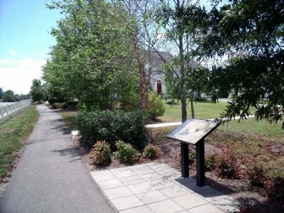
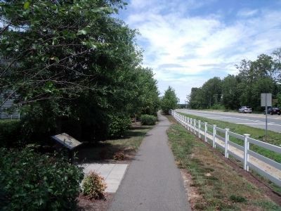
Location. 38° 20.386′ N, 77° 26.24′ W. Marker is near Fredericksburg, Virginia, in Stafford County. Marker is on Leeland Road (County Route 626) 0.1 miles north of Walnut Farms Parkway, on the left when traveling north. Touch for map. Marker is at or near this postal address: 8 Rixey Ct, Fredericksburg VA 22405, United States of America. Touch for directions.
Other nearby markers. At least 8 other markers are within 2 miles of this marker, measured as the crow flies. History at Leeland Station (approx. half a mile away); Cavalry Review (approx. 1.1 miles away); Lincoln Review (approx. 1.2 miles away); Land for God's Work (approx. 1.3 miles away); Civil War Observation Balloon Site (approx. 1.7 miles away); "Lest We Forget" (approx. 1.9 miles away); Olympians (approx. 1.9 miles away); Jermon Bushrod (approx. 1.9 miles away). Touch for a list and map of all markers in Fredericksburg.
More about this marker. On tle lower left is a period photo with the caption, "Winter camps, such as the one depicted here, were hard on local landowners. Fences and woodlots disappeared as fuel for fires and building materials for the soldiers’ huts."
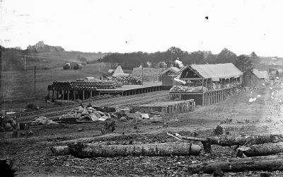
On the upper right is a period photo with the caption, "Supplies transported from Aquia Creek to Stoneman’s Switch (above) furnished Union soldiers at camp Pitcher and other nearby encampments with food, clothing and other materials necessary to survive the winter."
Credits. This page was last revised on February 2, 2023. It was originally submitted on July 22, 2010, by Bernard Fisher of Richmond, Virginia. This page has been viewed 1,929 times since then and 63 times this year. Photos: 1, 2, 3, 4. submitted on July 22, 2010, by Bernard Fisher of Richmond, Virginia.


