Near La Crosse in La Crosse County, Wisconsin — The American Midwest (Great Lakes)
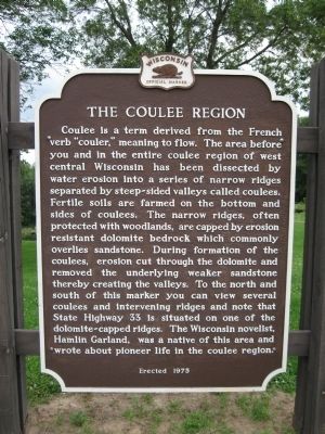
The Coulee Region
Photographed by Keith L, July 19, 2010
1. The Coulee Region Marker
Erected 1975 by the Wisconsin Historical Society. (Marker Number 209.)
Topics and series. This historical marker is listed in these topic lists: Arts, Letters, Music • Natural Features. In addition, it is included in the Wisconsin Historical Society
this page online
Location. 43° 47.442′ N, 91° 6.957′ W. Marker is near La Crosse, Wisconsin, in La Crosse County. It is at the intersection of State Highway 33 and Lost Ridge Road/Strittmater Road on State Highway 33. Marker is located at a scenic overlook 0.2 miles west of County Highway OA. Touch for map. Marker is at or near this postal address: W4210 State Highway 33, La Crosse WI 54601, United States of America. Touch for directions.

Regionally, this marker is in Western Wisconsin. It is also in the American Midwest, in the Corn Belt, in the Driftless Area — Bluff Country, and in the Great River Road Region. Globally, it is in North America, the Western Hemisphere, the Western World, and the Anglosphere. Historically, it finds itself in what was once the territory of the Mississippian Culture and also the Northwest Territory.
Other nearby markers. At least 8 other markers are within 5 miles of this marker, measured as the crow flies: German Methodist Episcopal Churches (approx. 4.7 miles away); First Complete Service of Christian Divine Worship (approx. 4.9 miles away); Prairie restoration
Photographed by Keith L, July 19, 2010
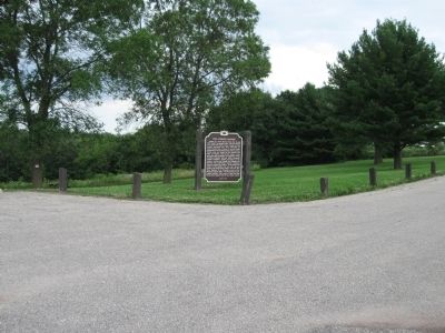
2. The Coulee Region Marker
Also see . . . Driftless Area. Wikipedia entry. (Submitted on July 22, 2010.)
Photographed by Keith L, July 19, 2010
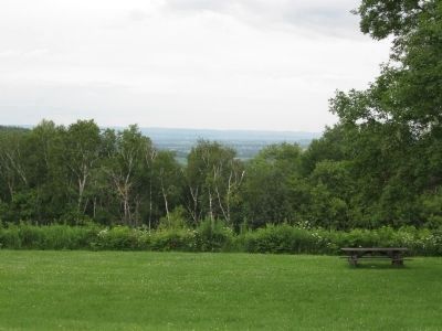
3. Bishop's View Overlook
Credits. This page was last revised on February 15, 2026. It was originally submitted on July 22, 2010, by Keith L of Wisconsin Rapids, Wisconsin. This page has been viewed 5,606 times since then and 304 times this year. Photos: 1, 2, 3. submitted on July 22, 2010, by Keith L of Wisconsin Rapids, Wisconsin.
