Near Fernandina Beach in Nassau County, Florida — The American South (South Atlantic)
Fort Clinch Military Road
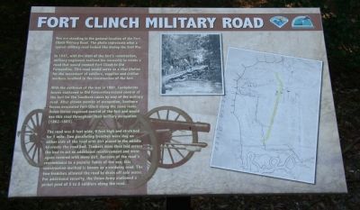
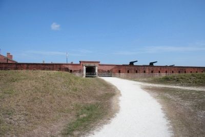
In 1847, with the start of the fort's construction, military engineers realized the necessity to create a road that would connect Fort Clinch to Old Fernandina. This road would serve as a vital lifeline for the movement of soldiers, supplies and civilian workers involved in the construction of the fort.
With the outbreak of the war in 1861, Confederate forces stationed in Old Fernandina seized control of the fort for the Southern cause by way of the military road. After eleven months of occupation, Southern forces evacuated Fort Clinch along the same route. Union forces regained control of the fort and would use this road throughout their military occupation (1862-1865).
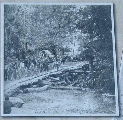
The road was 8 feet wide, 4 feet high and stretched for 1 mile. Two paralleling trenches were dug on either side of the road with dirt placed in the middle to create the road bed. Timbers were then laid across the bed to act as additional reinforcement and were again covered with more dirt. Because of the road's resemblance to a popular fabric of the era; this construction method is known as a corduroy road. The two trenches allowed the road to drain off rain water. For additional security, the Union Army stationed a picket post of 5 to 8 soldiers along the road.
Erected by Florida Park Service.
Topics. This historical marker is listed in these topic lists: Forts and Castles • Military • Roads & Vehicles • War, US Civil. A significant historical year for this entry is 1847.
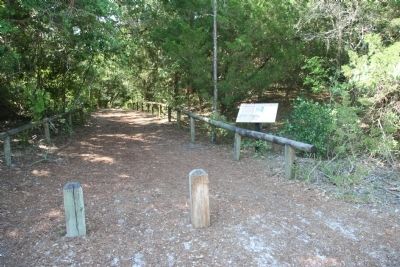
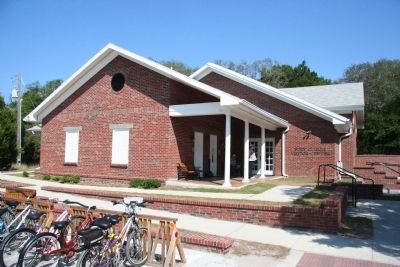
Location. 30° 42.179′ N, 81° 27.198′ W. Marker is near Fernandina Beach, Florida, in Nassau County. Marker is on Fort Clinch Road, 3.1 miles north of Atlantic Avenue, on the right when traveling east. This historical marker is located in the Fort Clinch state Park and you will need to pay an admission fee in order to be able to view it. The marker is situated at the end of the Fort Clinch Road, along the southern edge of the Fort Clinch parking lot, almost directly opposite of the Fort Clinch State Park Visitor Center. Touch for map. Marker is in this post office area: Fernandina Beach FL 32034, United States of America. Touch for directions.
Other nearby markers. At least 8 other markers are within one mile of this marker, measured as the crow flies. Fort Clinch (within shouting distance of this marker); Fort San Carlos (approx. one mile away); Old Town (approx. one mile away); The Plaza (approx. one mile away); The UNESCO Slave Route Project: Resistance, Liberty, Heritage (approx. one mile away); Shipwreck, Slavery and Survival
(approx. one mile away); a different marker also named Fort Clinch Military Road (approx. one mile away); 6-Pound Cannon (approx. one mile away). Touch for a list and map of all markers in Fernandina Beach.
Credits. This page was last revised on February 10, 2018. It was originally submitted on July 22, 2010, by Dale K. Benington of Toledo, Ohio. This page has been viewed 1,476 times since then and 18 times this year. Photos: 1, 2, 3, 4, 5, 6. submitted on July 22, 2010, by Dale K. Benington of Toledo, Ohio.
