Fernandina Beach in Nassau County, Florida — The American South (South Atlantic)
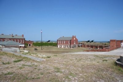
Fort Clinch
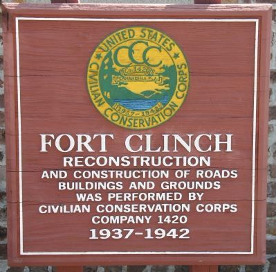
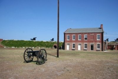
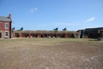
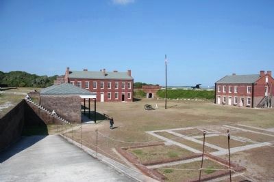
Reconstruction and construction of roads, buildings and grounds was performed by Civilian Conservation Corps Company 1420, 1937-1942.
Topics and series. This historical marker is listed in these topic lists: Charity & Public Work • Forts and Castles • War, US Civil. In addition, it is included in the Civilian Conservation Corps (CCC) series list. A significant historical year for this entry is 1420.
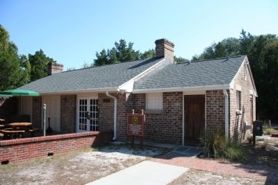
Location. 30° 42.211′ N, 81° 27.214′ W. Marker is in Fernandina Beach, Florida, in Nassau County. Marker is on Fort Clinch Road, 3.1 miles north of Atlantic Avenue, on the right when traveling west. This historical marker is located in the Fort Clinch State Park and you will need to pay an admission fee in order to be able to view it. The marker is situated at the end of the Fort Clinch Road, along the northern edge of the Fort Clinch parking lot, directly in front of one of the buildings that makes up the Fort Clinch State Park Visitor Center. Touch for map. Marker is in this post office area: Fernandina Beach FL 32034, United States of America. Touch for directions.
Other nearby markers. At least 8 other markers are within one mile of this marker, measured as the crow flies. Fort Clinch Military Road (within shouting distance of this marker); Fort San Carlos (approx. one mile away); Old Town (approx. one mile away); The Plaza (approx. one mile away); The UNESCO Slave Route Project: Resistance, Liberty, Heritage (approx. one mile away); a different marker also named Fort Clinch Military Road (approx. one mile away); Shipwreck, Slavery and Survival (approx. one mile away); 6-Pound Cannon (approx. one mile away). Touch for a list and map of all markers in Fernandina Beach.
Also see . . .
1. Fort Clinch State Park. This is a link to information provided by the Florida State Parks system. (Submitted on July 23, 2010, by Dale K. Benington of Toledo, Ohio.)
2. Fort Clinch State Park. This link comes from Wikipedia, the free encyclopedia. (Submitted on July 23, 2010, by Dale K. Benington of Toledo, Ohio.)
3. Gallery: Fort Clinch. This is a link to information provided by Exploring Florida: A Social Studies Resource for Students and Teachers. (Submitted on July 23, 2010, by Dale K. Benington of Toledo, Ohio.)
Internet Archive
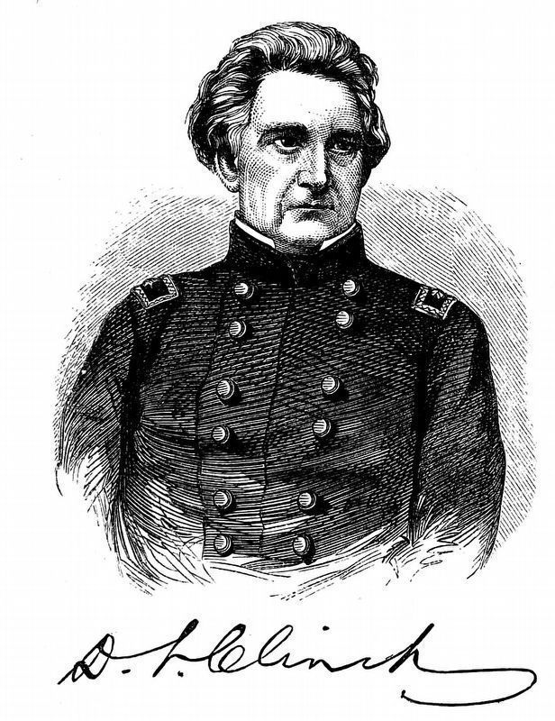
10. Duncan L. Clinch
Fort Clinch was named for Duncan Lamont Clinch, 1787 – 1849, who served in the War of 1812 and the First and Second Seminole Wars. He later represented Georgia in the U.S. House of Representatives.
Wood engraving by Benson John Lossing from The Pictorial Field-book of the War of 1812 by Benson John Lossing, 1869, page 917.
Wood engraving by Benson John Lossing from The Pictorial Field-book of the War of 1812 by Benson John Lossing, 1869, page 917.
Credits. This page was last revised on January 24, 2024. It was originally submitted on July 23, 2010, by Dale K. Benington of Toledo, Ohio. This page has been viewed 1,366 times since then and 16 times this year. Photos: 1, 2, 3, 4, 5, 6, 7, 8, 9. submitted on July 23, 2010, by Dale K. Benington of Toledo, Ohio. 10. submitted on January 24, 2024, by Allen C. Browne of Silver Spring, Maryland.
