Near Baker in Hardy County, West Virginia — The American South (Appalachia)
Frémont's Camp
En Route to the Shenandoah Valley
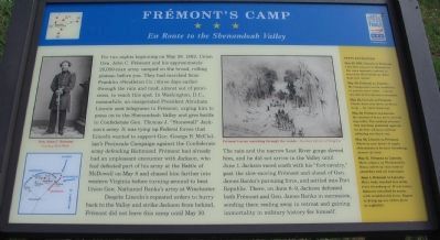
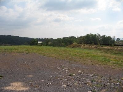
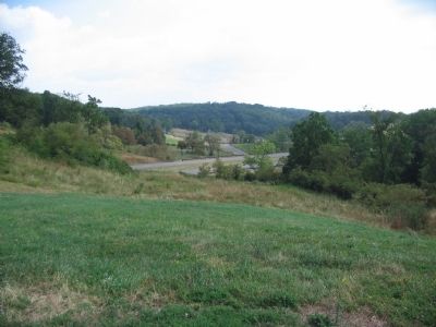
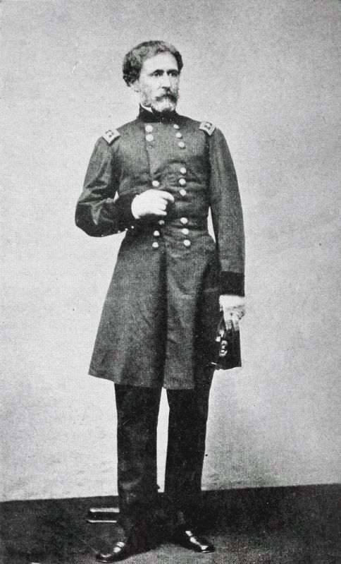
For two nights beginning on May 28, 1862, Union Gen. John C. Frémont and his approximately 20,000-man army camped on the broad, rolling plateau before you. They had marched from Franklin (Pendleton Co.) three days earlier through the rain and mud, almost out of provisions, to reach this spot. In Washington, D.C., meanwhile, an exasperated President Abraham Lincoln sent telegrams to Frémont, urging him to press on to the Shenandoah Valley and give battle to Confederate Gen. Thomas J. "Stonewall" Jackson's army. It was tying up Federal forces that Lincoln wanted to support Gen. George B. McClellan's Peninsula Campaign against the Confederate army defending Richmond. Frémont had already had an unpleasant encounter with Jackson, who had defeated part of his army at the Battle of McDowell on May 8 and chased him father into western Virginia before turning around to beat Union Gen. Nathaniel Banks's army at Winchester.
Despite Lincoln's repeated orders to hurry back to the Valley and strike Jackson from behind, Frémont did not leave this camp until May 30.
The rain and the narrow Lost River gorge slowed him, and he did not arrive in the Valley until June 1. Jackson raced south with his "foot cavalry," past the slow-moving Frémont and ahead of Gen. James Banks's pursuing force, and settled into Port Republic. There, on June 8-9, Jackson defeated both Frémont and Gen. James Banks in succession, sending them reeling away in retreat and gaining immortality in military history for himself.
(Sidebar):
Testy Exchanges
May 27, 1862, Lincoln to Frémont: I see that you are in Moorefield. You were expressly ordered to march to Harrisonburg. What does this mean?
May 28, Frémont to Lincoln: My troops were not in condition to execute your order ... [and] the line of march was a necessity.
May 29, Lincoln to Frémont: Please have your force at Strasburg ... by noon tomorrow.
May 29, Frémont to Lincoln: My command is not yet in marching order. The medical director this morning protested against its farther advance without allowing one day's rest.
May 30, Lincoln to Frémont: Where is your Force? It ought this minute to be near Strasburg. Answer at once.
May 31, Frémont to Lincoln: Main column at Wardensville. Heavy storm of rain most of yesterday and all last night.
June 1, Frémont to Lincoln: Main body reached five miles from Strasburg at 10 A.M. today. Advance attacked by enemy with considerable force. Expect to bring up our entire force by nightfall.
Erected by West Virginia Civil War Trails.
Topics and series. This historical marker is listed in this topic list: War, US Civil. In addition, it is included in the West Virginia Civil War Trails series list. A significant historical month for this entry is May 1760.
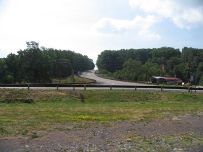
Location. 39° 6.048′ N, 78° 50.694′ W. Marker is near Baker, West Virginia, in Hardy County. Marker is at the intersection of Old State Highway 55 and New River Road (County Road 1), on the right when traveling west on Old State Highway 55. Touch for map. Marker is in this post office area: Baker WV 26801, United States of America. Touch for directions.
Other nearby markers. At least 8 other markers are within 7 miles of this marker, measured as the crow flies. Battle of Moorefield (approx. 6.1 miles away); a different marker also named Battle of Moorefield (approx. 6.1 miles away); Willow Wall (approx. 6.2 miles away); Fort Pleasant (approx. 6.2 miles away); a different marker also named Battle of Moorefield (approx. 6˝ miles away); Confederate Memorial (approx. 6.8 miles away); Veterans Memorial (approx. 6.8 miles away); Cemetery Hill (approx. 6.8 miles away).
More about this marker. On the left side of the marker is a photo of Gen. Frémont. Below it is a map showing the movements of the forces mentioned in the text. To the right is a sketch depicting Frémont's army marching through the woods.
Credits. This page was last revised on November 8, 2020. It was originally submitted on July 26, 2010, by Craig Swain of Leesburg, Virginia. This page has been viewed 1,358 times since then and 37 times this year. Photos: 1, 2, 3, 4. submitted on July 26, 2010, by Craig Swain of Leesburg, Virginia. 5. submitted on November 7, 2020, by Allen C. Browne of Silver Spring, Maryland.
