West Ocean View in Norfolk, Virginia — The American South (Mid-Atlantic)
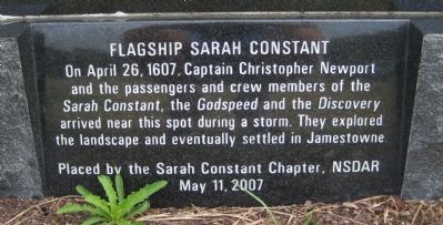
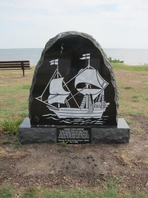
Flagship Sarah Constant
Erected 2007 by the Sarah Constant Chapter, NSDAR.
Topics and series. This historical marker is listed in these topic lists: Colonial Era • Exploration • Waterways & Vessels. In addition, it is included in the Daughters of the American Revolution series list. A significant historical month for this entry is April 1607.
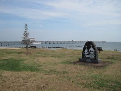
Location. 36° 57.565′ N, 76° 15.527′ W. Marker is in Norfolk, Virginia. It is in West Ocean View. Marker can be reached from the intersection of West Ocean View Avenue (U.S. 60) and Tidewater Drive (Virginia Route 168), on the right when traveling west. On the back edge of the parking lot in Susan Constant Shrine Beach. Touch for map. Marker is in this post office area: Norfolk VA 23503, United States of America. Touch for directions.
Other nearby markers. At least 8 other markers are within 2 miles of this marker, measured as the crow flies. Susan Constant Shrine (within shouting distance of this marker); Operation Torch, 1942 (about 400 feet away, measured in a direct line); USS Intrepid (CV-11) (about 500 feet away); Landing of Wool and Surrender of Norfolk (approx. 0.2 miles away); First Flight Ship to Shore (approx. 0.4 miles away); Veterans Memorial (approx. 0.6 miles away); The Norfolk 17 (approx. 1.6 miles away); Battle, Monitor and Merrimack (approx. 1.8 miles away). Touch for a list and map of all markers in Norfolk.
Credits. This page was last revised on February 1, 2023. It was originally submitted on July 27, 2010, by Kevin W. of Stafford, Virginia. This page has been viewed 2,007 times since then and 90 times this year. Photos: 1, 2, 3. submitted on July 27, 2010, by Kevin W. of Stafford, Virginia.


