Near Vinemont in Cullman County, Alabama — The American South (East South Central)
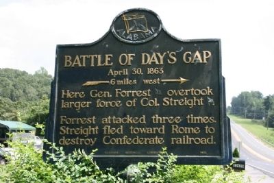
Battle of Day’s Gap
April 30, 1863
— ---- 6 miles west --> —
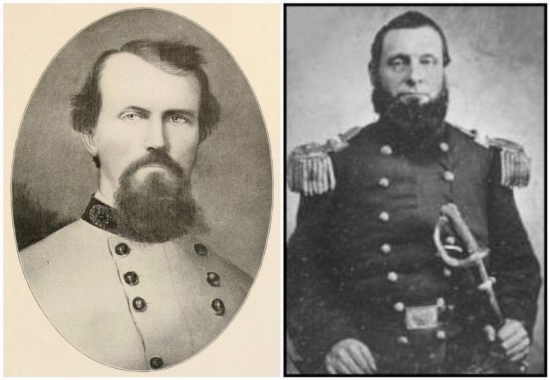
Forrest attacked three times. Streight fled toward Rome to destroy Confederate railroad.
Erected 1952 by Alabama Historical Association.
Topics and series. This historical marker is listed in this topic list: War, US Civil. In addition, it is included in the Alabama Historical Association series list.
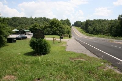
Location. 34° 17.217′ N, 86° 53.733′ W. Marker is near Vinemont, Alabama, in Cullman County. Marker is on U.S. 31, on the right. Marker located next to the Hurricane Creek Park. Touch for map. Marker is at or near this postal address: 22600 Highway 31, Vinemont AL 35179, United States of America. Touch for directions.
Other nearby markers. At least 8 other markers are within 7 miles of this marker, measured as the crow flies. Original Falkville Town Hall Building / Falkville Water Tower (approx. 5.7 miles away); Battleground (approx. 5.9 miles away); Streight’s Raid (approx. 6.3 miles away); a different marker also named Streight’s Raid (approx. 6.3 miles away); The "Katy-Did" Crash (approx. 6.6 miles away); Operation Iraqi Freedom - Afghanistan Memorial (approx. 6.9 miles away); Cullman County World War I Memorial (approx. 6.9 miles away); Marion Albert Hill (approx. 6.9 miles away). Touch for a list and map of all markers in Vinemont.
Also see . . . Wikipedia article on the Battle of Day's Gap. (Submitted on January 8, 2017, by Mark Hilton of Montgomery, Alabama.)
Credits. This page was last revised on January 21, 2017. It was originally submitted on August 1, 2010, by Timothy Carr of Birmingham, Alabama. This page has been viewed 3,136 times since then and 94 times this year. Photos: 1, 2. submitted on August 1, 2010, by Timothy Carr of Birmingham, Alabama. 3. submitted on January 8, 2017, by Mark Hilton of Montgomery, Alabama. • Craig Swain was the editor who published this page.


