Near Lafayette in Tippecanoe County, Indiana — The American Midwest (Great Lakes)
Trail of Death
September 12, 1838
— LaGrange - Logansport State Road —
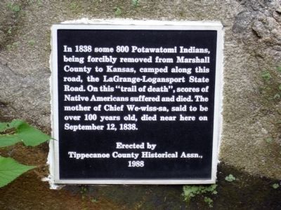
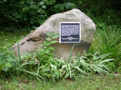
In 1838 some 800 Potawatomi Indians, being forcibly removed from Marshall County to Kansas, camped along this road, the LaGrange-Logansport State Road. On this “trail of death”, scores of Native Americans suffered and died. The mother of Chief We-wiss-sa, said to be over 100 years old, died near here on September 12, 1838.
Erected 1988 by Tippecanoe County Historical Assn.
Topics and series. This historical marker is listed in this topic list: Native Americans. In addition, it is included in the Potawatomi Trail of Death series list. A significant historical month for this entry is September 1838.
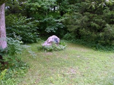
Location. 40° 29.405′ N, 86° 57.188′ W. Marker is near Lafayette, Indiana, in Tippecanoe County. Marker is on County Road W 500 N west of Road N 225 W, on the right when traveling west. Touch for map. Marker is in this post office area: Lafayette IN 47901, United States of America. Touch for directions.
Other nearby markers. At least 8 other markers are within 6 miles of this marker, measured as the crow flies. Cairo Skywatch Tower (approx. 3.8 miles away); Tecumseh Trail (approx. 3.8 miles away); The Purdue Flagpole (approx. 4.9 miles away); Universal Soil Loss Equation (approx. 5.1 miles away); William Henry Harrison Memorial Bridge (approx. 5.4 miles away); Prophet’s Rock (approx. 5.4 miles away); Main Street Bridge (approx. 5.6 miles away); John T. Myers (approx. 5.7 miles away). Touch for a list and map of all markers in Lafayette.
Also see . . . Trail of Death map. Potawatomi Web homepage (Submitted on August 1, 2010, by Al Wolf of Veedersburg, Indiana.)
Credits. This page was last revised on June 19, 2022. It was originally submitted on August 1, 2010, by Al Wolf of Veedersburg, Indiana. This page has been viewed 1,017 times since then and 34 times this year. Photos: 1, 2, 3, 4. submitted on August 1, 2010, by Al Wolf of Veedersburg, Indiana. • Syd Whittle was the editor who published this page.


