Salisbury in Rowan County, North Carolina — The American South (South Atlantic)
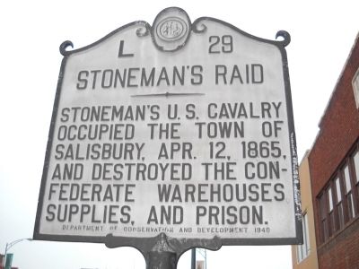
Stonemanís Raid
Stonemanís U.S. Cavalry occupied the town of Salisbury, Apr. 12, 1865, and destroyed the Confederate warehouses, supplies, and prison.
Erected 1940 by Department of Conservation and Development. (Marker Number L-29.)
Topics and series. This historical marker is listed in these topic lists: Notable Events • War, US Civil. In addition, it is included in the North Carolina Division of Archives and History series list. A significant historical date for this entry is April 12, 1845.
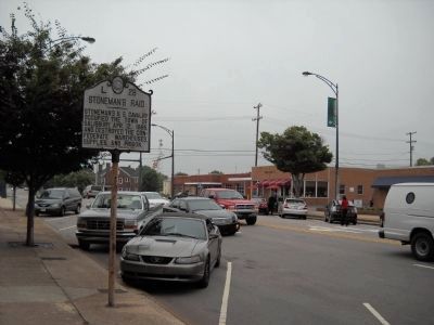
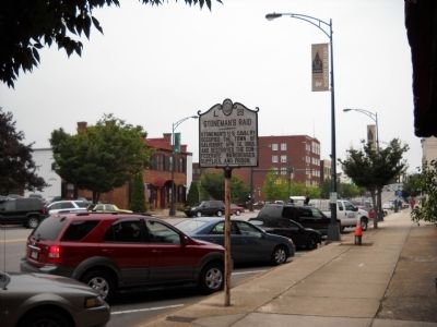
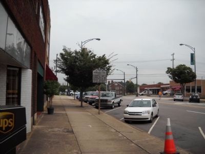
Location. 35° 40.181′ N, 80° 28.023′ W. Marker is in Salisbury, North Carolina, in Rowan County. Marker is on N Main Street, on the left when traveling north. Marker is located on N Main Street between Liberty Street and Kerr Street. Touch for map. Marker is in this post office area: Salisbury NC 28144, United States of America. Touch for directions.
Other nearby markers. At least 8 other markers are within walking distance of this marker. Harry Cowan (about 300 feet away, measured in a direct line); Rowan County World War I Memorial (about 500 feet away); Mount Zion Baptist Church (about 500 feet away); Lynching in America / Lynching of African Americans in Rowan County (about 600 feet away); Elizabeth Maxwell Steele (about 600 feet away); Washington's Southern Tour (about 700 feet away); Washingtonís Tour of the Southern States (about 700 feet away); St. Lukeís Episcopal Church (about 700 feet away). Touch for a list and map of all markers in Salisbury.
Also see . . .
1. Major General George Stoneman Led the Last American Civil War Cavalry Raid. HistoryNet.com website. (Submitted on August 2, 2010, by Bill Coughlin of Woodland Park, New Jersey.)
2. Stoneman's Raid. North Carolina History Project (Submitted on September 17, 2022, by Larry Gertner of New York, New York.)
Credits. This page was last revised on March 5, 2024. It was originally submitted on August 2, 2010, by Bill Coughlin of Woodland Park, New Jersey. This page has been viewed 844 times since then and 44 times this year. Photos: 1, 2, 3, 4. submitted on August 2, 2010, by Bill Coughlin of Woodland Park, New Jersey.


