Salisbury in Rowan County, North Carolina — The American South (South Atlantic)
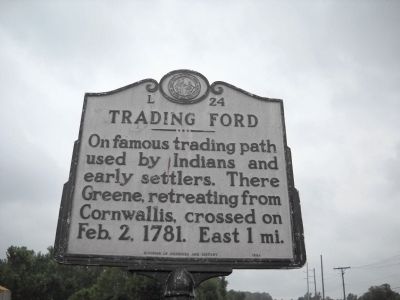
Trading Ford
Erected 1980 by Division of Archives and History. (Marker Number L-24.)
Topics and series. This historical marker is listed in these topic lists: Native Americans • Settlements & Settlers • War, US Revolutionary • Waterways & Vessels. In addition, it is included in the North Carolina Division of Archives and History series list. A significant historical month for this entry is February 1835.
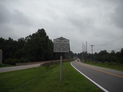
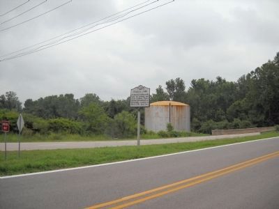
Location. 35° 43.293′ N, 80° 23.713′ W. Marker is in Salisbury, North Carolina, in Rowan County. Marker is on State Highway 150, in the median. Marker is located on the south side of the Yadkin River Bridge. Touch for map. Marker is in this post office area: Salisbury NC 28144, United States of America. Touch for directions.
Other nearby markers. At least 8 other markers are within 4 miles of this marker, measured as the crow flies. Stoneman’s Raid (approx. 0.3 miles away); a different marker also named Trading Ford (approx. one mile away); Magnetic Signal Company (approx. 3.1 miles away); Signals (approx. 3.1 miles away); Food Lion LLC (approx. 3.1 miles away); Food Lion Trailer No. 893615 (approx. 3.1 miles away); Historic Spencer Shops (approx. 3.2 miles away); Town of Spencer (approx. 3.2 miles away).
Credits. This page was last revised on July 2, 2021. It was originally submitted on August 2, 2010, by Bill Coughlin of Woodland Park, New Jersey. This page has been viewed 897 times since then and 42 times this year. Photos: 1, 2, 3. submitted on August 2, 2010, by Bill Coughlin of Woodland Park, New Jersey.


