Near Apache Junction in Maricopa County, Arizona — The American Mountains (Southwest)
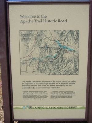
Welcome to the Apache Trail Historic Road
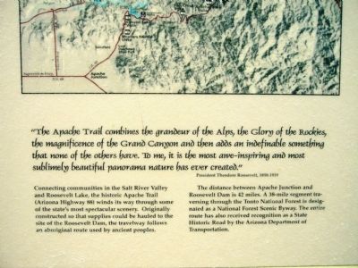
"The Apache Trail combines the grandeur of the Alps, the Glory of the Rockies, the magnificence of the Grand Canyon and then adds an indefinable something that none of the others have. To me, it is the most awe-inspiring and most sublimely beautiful panorama nature has ever created."
President Theodore Roosevelt, 1858-1919
Connecting communities in the Salt River Valley and Roosevelt Lake, the historic Apache Trail (Arizona Highway 88) winds its way through some of the state's most spectacular scenery. Originally constructed so that supplies could be hauled to the site of the Roosevelt Dam, the travelway follows an aboriginal route used by ancient peoples.
The distance between Apache Junction and Roosevelt Dam is 42 miles. A 38-mile segment traversing through the Tonto National Forest is designated as a National Forest Scenic Byway. The entire route has also received recognition as a State Historic Road by the Arizona Department of Transportation.
Inset at top of map:
Road Awareness
Watch for numerous sharp curves and an occasional narrow stretch of road. The surface is a combination of paved sections, grated gravel and dirt cutouts offer an opportunity to view the scenery.
At Fish Creek Hill the road is steep, primarily single-lane with turn-outs hugging the side of the mountain. This section is not recommended for the faint of heart or large trailers.
Erected by Tonto National Forest.
Topics and series. This historical marker is listed in this topic list: Roads & Vehicles. In addition, it is included in the Former U.S. Presidents: #26 Theodore Roosevelt series list.
Location. 33° 40.102′ N, 111° 9.745′ W. Marker is near Apache Junction, Arizona, in Maricopa County. Marker is on Apache Trail (Route 88 at milepost 241), on the left when traveling east. Touch for map. Marker is in this post office area: Apache Junction AZ 85119, United States of America. Touch for directions.
Other nearby markers. At least 8 other markers are within walking distance of this marker. Alchesay (within shouting distance of this marker); Roosevelt Dam (about 500 feet away, measured in a direct line); a different marker also named Roosevelt Dam (about 500 feet away); The People Who Made It Happen (about 500 feet away); Salt River Before the Dam (approx. 0.3 miles away); Tonto Basin (approx. 0.3 miles away); The Bridge (approx. 0.3 miles away); Al Sieber (approx. ¾ mile away). Touch for a list and map of all markers in Apache Junction.
Photographed By Bill Kirchner, August 3, 2010
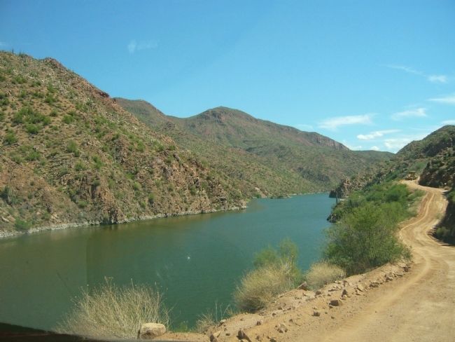
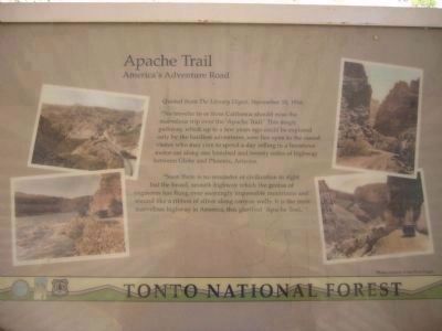
4. Apache Trail - America's Adventure Road
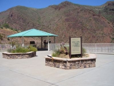
Marker in Ramada at Apache Trail Vista:
Quoted from The Literary Digest, November 18, 1916;
"No traveler to or from California should miss the marvelous trip over the 'Apache Trail'. This magic pathway, which up to a few years ago could be explored only by the hardiest adventurer, now lies open to the casual visitor who may care to spend a day rolling in a luxurious motor-car along one hundred and twenty miles of highway between Globe and Phoenix, Arizona.
"Soon there is no reminder of civilization in sight but the broad, smooth highway which the genius of engineers has flung over seemingly impassable mountains and wound like a ribbon of silver along canyon wall. It is the most marvelous highway in America, this glorified 'Apache Trail'."
Credits. This page was last revised on June 16, 2016. It was originally submitted on August 5, 2010, by Bill Kirchner of Tucson, Arizona. This page has been viewed 1,463 times since then and 35 times this year. Photos: 1, 2, 3, 4, 5. submitted on August 5, 2010, by Bill Kirchner of Tucson, Arizona. • Syd Whittle was the editor who published this page.
