
Windsor in Essex County, Ontario — Central Canada (North America)
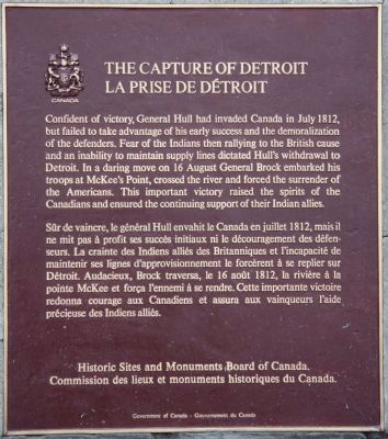
The Capture of Detroit
Photographed by Dale K. Benington, August 9, 2010
1. The Capture of Detroit Marker
Erected by Historic Sites and Monuments Board of Canada.
Topics and series. This historical marker is listed in these topic lists: Indigenous Peoples and Communities • War of 1812. In addition, it is included in the Canada, Historic Sites and Monuments Board series list. A significant historical month for this entry is July 1812.
Location. 42° 17.027′ N, 83° 5.194′ W. Marker is in Windsor, Ontario, in Essex County. It is at the intersection of Sandwich Street and Ojibway Parkway, on the right when traveling south on Sandwich Street. This historical marker is located on the
this page online

Regionally, this marker is in the Southwest Ontario Area and in Southwestern Ontario. It is also in Central Canada. Globally, it is in North America, the Western Hemisphere, the Western World, and the Anglosphere. Historically, it finds itself in what was once a British colony, the Viceroyalty of New France, the Haudenosaunee (Iroquois) Confederacy, and Rupert’s Land.
Other nearby markers. At least 8 other markers are within 3 kilometers of this marker, measured as the crow flies: Sandwich First Baptist Church / Première Église Baptiste de Sandwich (approx. one kilometer away); The Sandwich First Baptist Church / L’Église de la First Baptist Church de Sandwich (approx. one kilometer away); Post Commander's Residence (approx. 1.8 kilometers away in the U.S.); Indian Mound (approx. 1.8 kilometers away in the U.S.); Officers Row
Photographed by Dale K. Benington, August 9, 2010
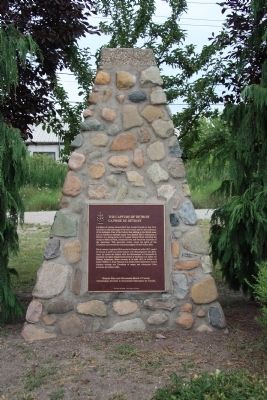
2. The Capture of Detroit Marker
Related markers. Click here for a list of markers that are related to this marker. To better understand the relationship, study each marker in the order shown.
Also see . . .
1. The Capture of Detroit 1812. This is a link to information provided by the War of 1812 Website. (Submitted on August 12, 2010, by Dale K. Benington of Toledo, Ohio.)
2. Battle of Detroit Canada Campaign. This is a link to information provided by a website entitled, "The War of 1812." (Submitted on August 12, 2010, by Dale K. Benington of Toledo, Ohio.)
Photographed by Dale K. Benington, August 9, 2010
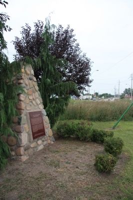
3. The Capture of Detroit Marker
View looking north of the historical marker, and beyond the tall grass is a view looking up Sandwich Street.
Photographed by Dale K. Benington, August 9, 2010
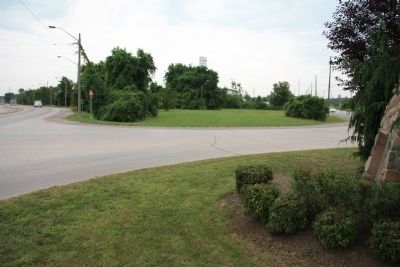
4. The Capture of Detroit Marker
View looking south of the historical marker (on extreme right of picture) and of Ojibway Parkway to the southeast and Sandwich Street to the south,
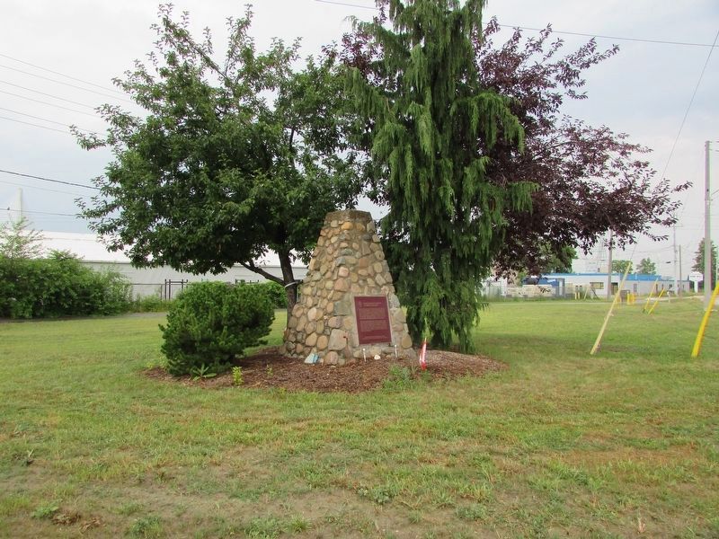
Photographed by Bill Coughlin, July 9, 2025
5. The Capture of Detroit Marker
Credits. This page was last revised on July 17, 2025. It was originally submitted on August 12, 2010, by Dale K. Benington of Toledo, Ohio. This page has been viewed 1,872 times since then and 32 times this year. Photos: 1, 2, 3, 4. submitted on August 12, 2010, by Dale K. Benington of Toledo, Ohio. 5. submitted on July 17, 2025, by Bill Coughlin of Woodland Park, New Jersey.
Editor’s want-list for this marker. Transcription of the French text • Can you help?
