Near Ansted in Fayette County, West Virginia — The American South (Appalachia)
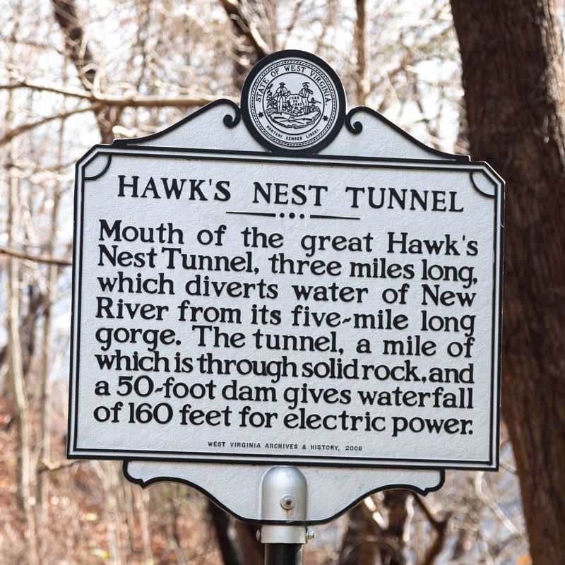
Hawk’s Nest Tunnel
Photographed by J. J. Prats, December 1, 2019
1. Hawk's Nest Tunnel Marker
Erected 2008 by West Virginia Archives and History.
Topics and series. This historical marker is listed in these topic lists: Bridges & Viaducts • Charity & Public Work • Industry & Commerce • Waterways & Vessels. In addition, it is included in the West Virginia Archives and History series list.
Location. 38° 7.356′ N, 81° 7.644′ W. Marker is near Ansted, West Virginia, in Fayette County. It is on Midland Trail (U.S. 60), on the left when traveling west. It is at the Hawk’s Nest Overlook west of the park itself. Touch for map. Marker is at or near this postal address: 17839 Midland Trail, Ansted WV 25812, United States of America. Touch for directions.

Regionally, this marker is in the New River Gorge and in Greater Charleston Area. It is also in the American South, specifically in the Upper South, in Appalachia,
this page online
Other nearby markers. At least 8 other markers are within 2 miles of this marker, measured as the crow flies: Hawk’s Nest (within shouting distance of this marker); Hawk's Nest Tunnel Disaster (within shouting distance of this marker); Salt Sand (approx. half a mile away); "Contentment" (approx. 1.2 miles away); a different marker also named Contentment (approx. 1.2 miles away); New Haven Veterans' Memorial (approx. 1.8 miles away); Jackson's Mother (approx. 1.8 miles away); Hawks Nest Strike (approx. 1.8 miles away). Touch for a list and map of all markers in Ansted.
More about this marker. Marker no longer marks the mouth of the tunnel. It was originally erected near the tunnel’s mouth, 5.9 miles east (3.4 miles as the crow flies) at 38° 9.085′ N, 81° 10.69′ W near Gauley Bridge on Midland Trail (U.S. 60) 0.4 miles west of Cane Branch (County Route 60/7), in the turnoff for the Hawk’s
Photographed by J. J. Prats, December 1, 2019
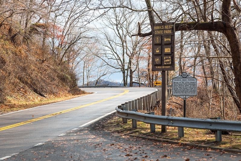
2. Hawk's Nest Tunnel Marker
This view is eastbound. The parking lot for the Hawk’s Next Overlook is behind the photographer. The sign next to the marker announces the state park itself, ¼ mile east.
Additional keywords. tunnels
Photographed by Bernard Fisher, August 11, 2010
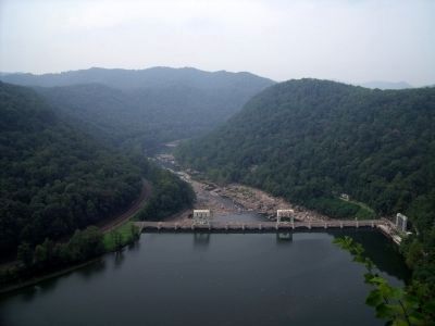
3. Hawk's Nest Hydroeletric Dam
Photographed by Bernard Fisher, August 11, 2010
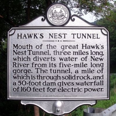
4. Hawk's Nest Tunnel Marker (original location)
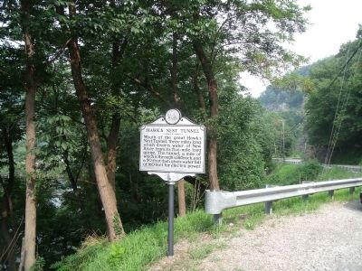
Photographed by Bernard Fisher, August 11, 2010
5. Marker at its original location
It was originally located at (GPS 38.15142, -81.17817) marking the mouth of the tunnel at the river below. This view is facing west.
Credits. This page was last revised on November 14, 2021. It was originally submitted on August 14, 2010, by Bernard Fisher of Richmond, Virginia. This page has been viewed 2,313 times since then and 88 times this year. Photos: 1, 2. submitted on December 4, 2019, by J. J. Prats of Powell, Ohio. 3. submitted on August 15, 2010, by Bernard Fisher of Richmond, Virginia. 4, 5. submitted on August 14, 2010, by Bernard Fisher of Richmond, Virginia.
