Near Belington in Barbour County, West Virginia — The American South (Appalachia)
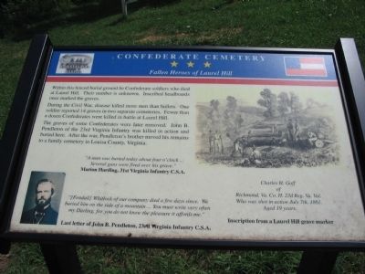
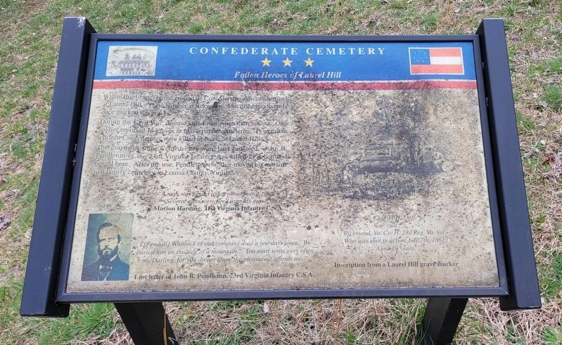
Confederate Cemetery
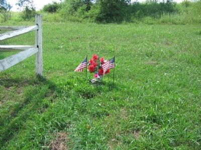
Fallen Heroes of Laurel Hill
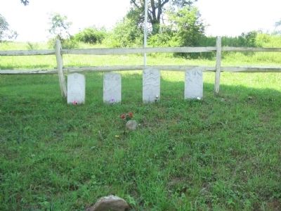
During the Civil War, disease killed more men than bullets. One soldier reported 14 graves in two separate cemeteries. Fewer than a dozen Confederates were killed in battle at Laurel Hill.
The graves of some Confederates were later removed. John B. Pendleton of the 23rd Virginia Infantry was killed in action and buried here. After the war, Pendleton's brother moved his remains to a family cemetery in Louisa County, Virginia.
"A man was buried today about four o'clock ... Several guns were fired over his grave."
Marion Harding, 31st Virginia Infantry C.S.A.
"[Fendall] Whitlock of our company died a few days since. We buried him on the side of a mountain ... You must write very often my Darling, for you do not know the pleasure it affords me."
Last letter of John B. Pendleton, 23rd Virginia Infantry C.S.A.
of
Richmond, Va. Co. H. 23d Reg. Va. Vol.
Who was shot in action July 7th, 1861.
Aged 19 years
Topics. This historical marker is listed in these topic lists: Cemeteries & Burial Sites • War, US Civil. A significant historical date for this entry is July 7, 1841.
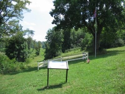
Location. 39° 0.416′ N, 79° 54.871′ W. Marker is near Belington, West Virginia, in Barbour County. Marker can be reached from Laurel Mountain Road (County Route 15), on the right when traveling east. Located in Laurel Hill Camp beside the Mill Creek Reservoir. Touch for map. Marker is in this post office area: Belington WV 26250, United States of America. Touch for directions.
Other nearby markers. At least 8 other markers are within walking distance of this marker. Cannons (about 300 feet away, measured in a direct line); Forced Flight (about 700 feet away); Battle of Laurel Hill (about 700 feet away); Laurel Hill (approx. 0.2 miles away); Civil War (approx. ¼ mile away); Welcome to Camp Laurel Hill (approx. 0.3 miles away); Laurel Hill Battlefield Veterans Memorial (approx. 0.3 miles away); In Honor of these whose Sacrifices Created this Hallowed Ground (approx. 0.3 miles away). Touch for a list and map of all markers in Belington.
More about this marker. On the marker is a portrait of Pendleton and a drawing of a wartime burial.
Also see . . . Battle of Laurel Hill. Web site with details on the battle of Laurel Hill. (Submitted on August 15, 2010, by Craig Swain of Leesburg, Virginia.)
Credits. This page was last revised on March 31, 2024. It was originally submitted on August 15, 2010, by Craig Swain of Leesburg, Virginia. This page has been viewed 1,396 times since then and 62 times this year. Photos: 1. submitted on August 15, 2010, by Craig Swain of Leesburg, Virginia. 2. submitted on March 31, 2024, by Bradley Owen of Morgantown, West Virginia. 3, 4, 5. submitted on August 15, 2010, by Craig Swain of Leesburg, Virginia.
