Near Belington in Barbour County, West Virginia — The American South (Appalachia)
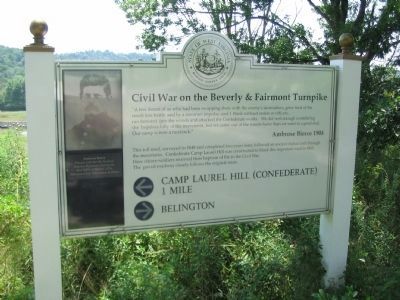
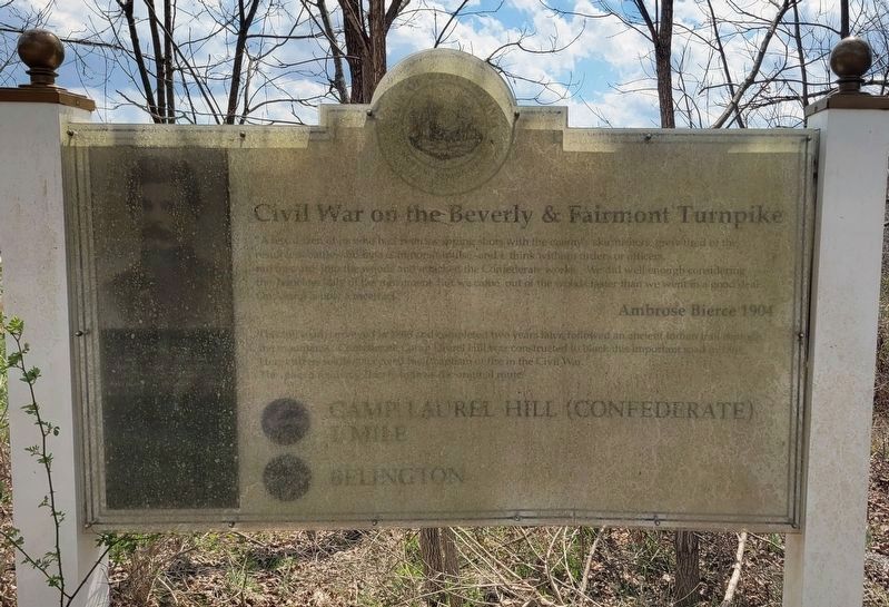
Civil War on the Beverly & Fairmont Turnpike
Inscription.
"A few dozen of us who had been swapping shots with the enemy's skirmishers, grew tired of the result less battle and by a common impulse - and I think without orders or officers, ran forward into the woods and attacked the Confederate works. We did well enough considering the hopeless folly of the movement, but we came out of the woods faster than we went in a good deal. Our camp is now a racetrack."
Ambrose Bierce 1904.
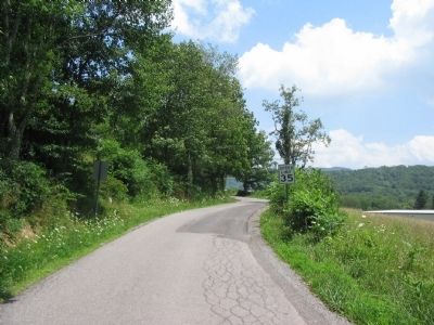
This toll road, surveyed in 1848 and completed two years later, followed an ancient Indian trail through the mountains. Confederate Camp Laurel Hill was constructed to block this important road in 1861. The paved roadway closely follows the original route.
Topics. This historical marker is listed in this topic list: War, US Civil. A significant historical year for this entry is 1904.
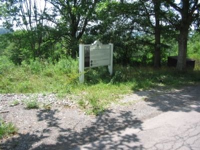
Location. 39° 0.797′ N, 79° 55.452′ W. Marker has been reported unreadable. Marker is near Belington, West Virginia, in Barbour County. Marker is on Laurel Mountain Road (County Route 15), on the right when traveling east. Touch for map. Marker is in this post office area: Belington WV 26250, United States of America. Touch for directions.
Other nearby markers. At least 8 other markers are within walking distance of this location. Battle of Laurel Hill (approx. half a mile away); a different marker also named Battle of Laurel Hill (approx. 0.6 miles away); Cannons (approx. 0.6 miles away); Confederate Cemetery (approx. 0.7 miles away); Laurel Hill (approx. ¾ mile away); Camp Laurel Hill (approx. 0.8 miles away); Civil War (approx. 0.8 miles away); Forced Flight (approx. 0.8 miles away). Touch for a list and map of all markers in Belington.
Credits. This page was last revised on March 30, 2024. It was originally submitted on August 15, 2010, by Craig Swain of Leesburg, Virginia. This page has been viewed 1,365 times since then and 40 times this year. Photos: 1. submitted on August 15, 2010, by Craig Swain of Leesburg, Virginia. 2. submitted on March 30, 2024, by Bradley Owen of Morgantown, West Virginia. 3, 4. submitted on August 15, 2010, by Craig Swain of Leesburg, Virginia.


