Near Corbett in Multnomah County, Oregon — The American West (Northwest)
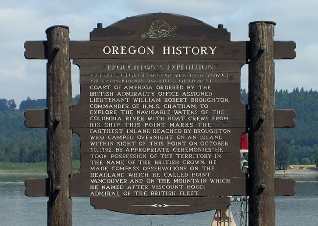
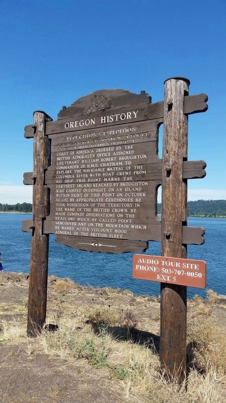
Broughton’s Expedition
Erected by Oregon Department of Transportation and Oregon Travel Information Council.
Topics and series. This historical marker is listed in these topic lists: Exploration • Waterways & Vessels. In addition, it is included in the Oregon Beaver Boards series list. A significant historical month for this entry is October 1918.
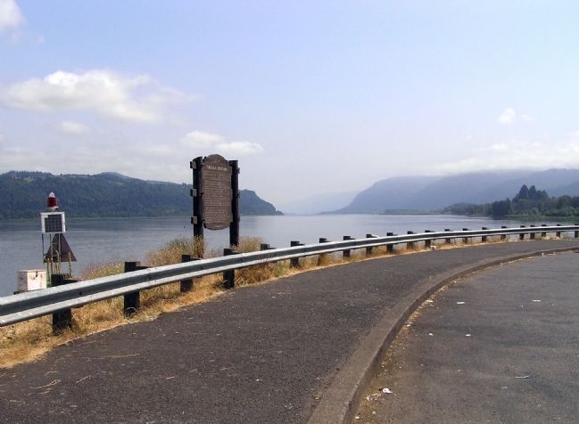
Location. 45° 32.567′ N, 122° 16.528′ W. Marker is near Corbett, Oregon, in Multnomah County. Marker is on Columbia River Highway (Interstate 84 at milepost 23), 8.6 miles west of Rooster Rock Park West-bound on ramp, on the right when traveling west. The marker is located at the scenic rest area on Interstate 84 (West-bound only) in Columbia River Gorge National Scenic Area. Touch for map. Marker is in this post office area: Corbett OR 97019, United States of America. Touch for directions.
Other nearby markers. At least 8 other markers are within 2 miles of this marker, measured as the crow flies. Chanticleer Point (approx. 0.9 miles away); a different marker also named Chanticleer Point (approx. one mile away); Samuel Hill – “Road Builder” (approx. one mile away); Corbett (approx. 1.1 miles away); Samuel C. Lancaster (approx. 1˝ miles away); Vista House (approx. 1˝ miles away); Marshall N. Dana (approx. 1˝ miles away); Camping Among the Giants (approx. 1.9 miles away). Touch for a list and map of all markers in Corbett.
Also see . . .
1. Oregon Travel Information Council - Broughton's Expedition Audio Tour. (Submitted on November 25, 2010, by PaulwC3 of Northern, Virginia.)
2. Oregon Travel Experience - Broughton’s Expedition. (Submitted on January 12, 2018, by Douglass Halvorsen of Klamath Falls, Oregon.)
Credits. This page was last revised on February 11, 2018. It was originally submitted on August 16, 2010, by PaulwC3 of Northern, Virginia. This page has been viewed 1,140 times since then and 35 times this year. Photos: 1. submitted on August 16, 2010, by PaulwC3 of Northern, Virginia. 2. submitted on August 21, 2016, by Richard Hawkins of Phelan, California. 3. submitted on August 16, 2010, by PaulwC3 of Northern, Virginia.


